Crossing the Milford Track
If you read through our earlier Tongariro post, you heard a bit about NZ’s Great Walks. While the Alpine Crossing is touted as the best day hike in NZ, we’ve often heard the Milford Track (our 2nd Great Walk, and subject of this post) praised as “quite possibly the finest walk in the world”. So all in all, expectations were high.
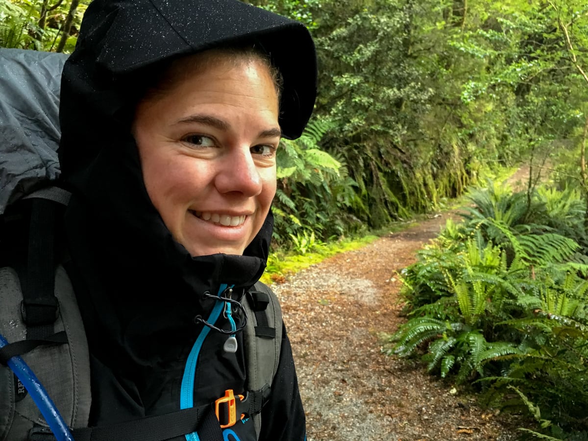
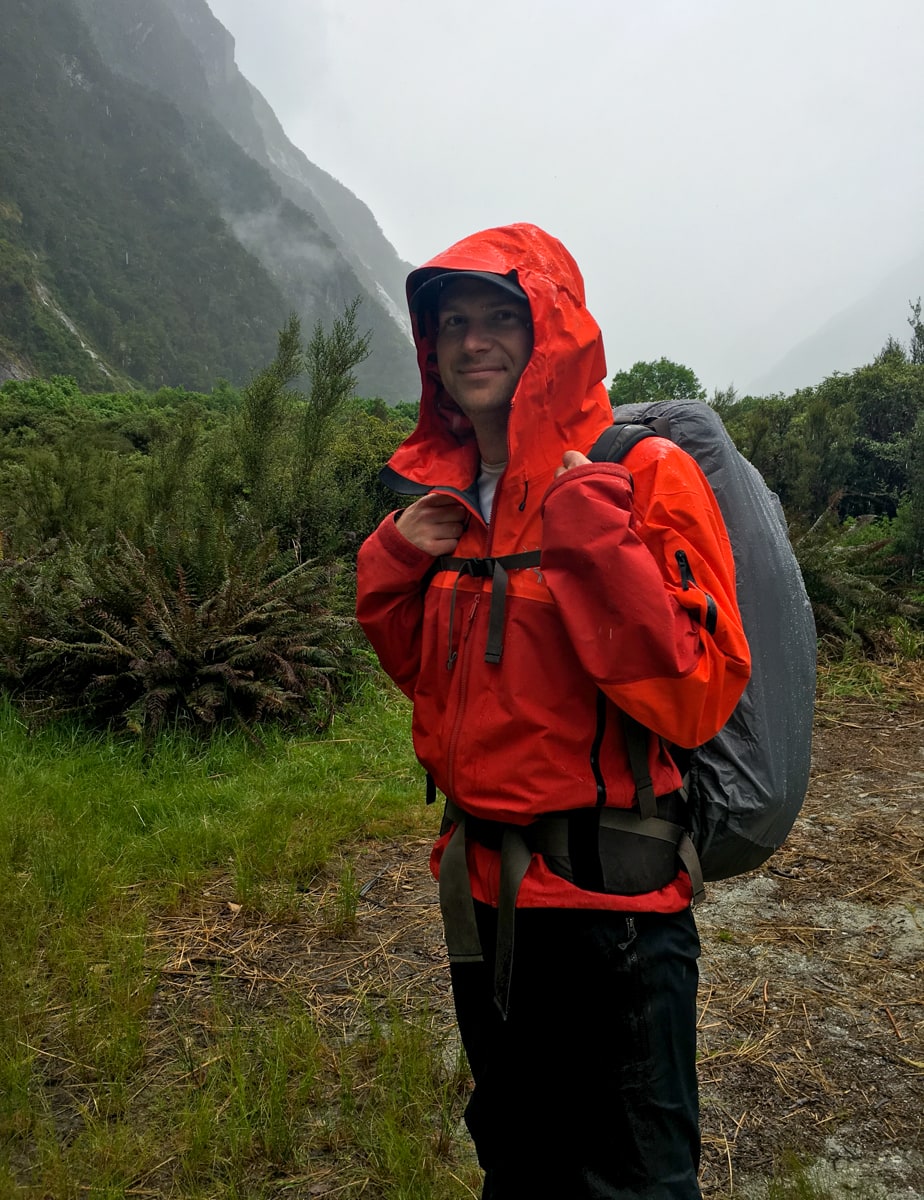
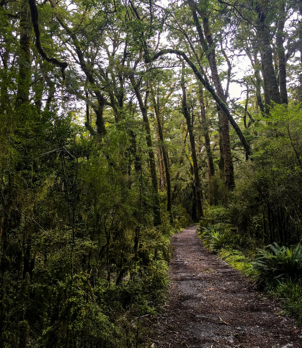
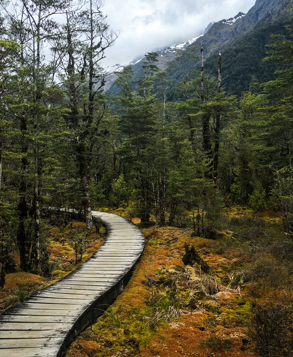
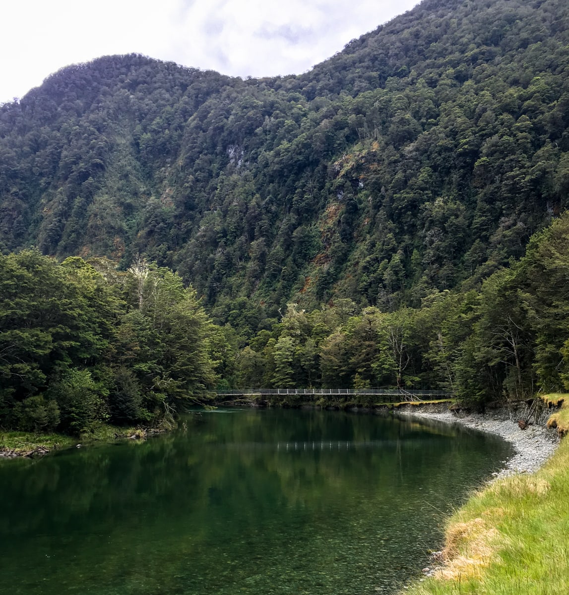
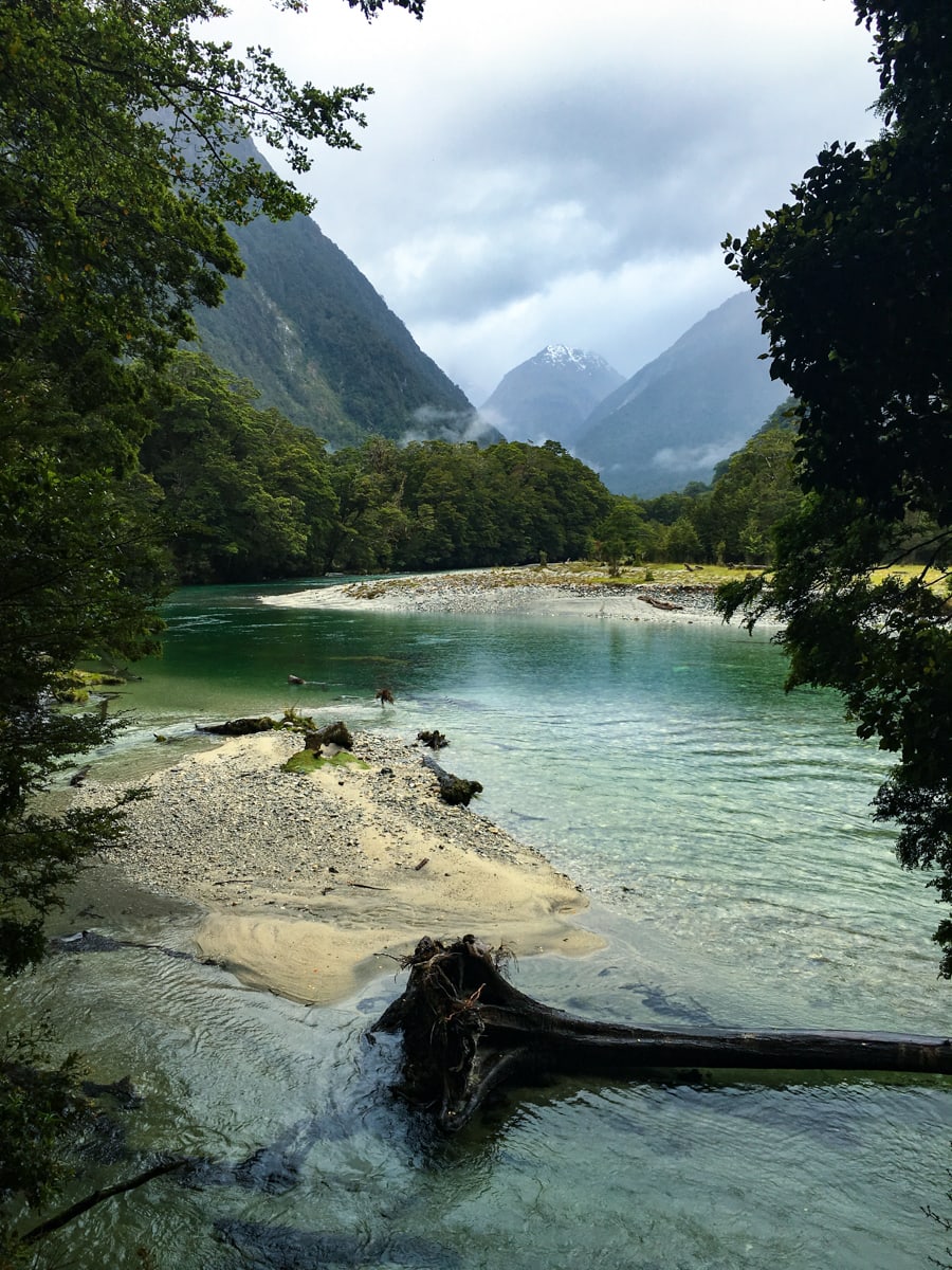
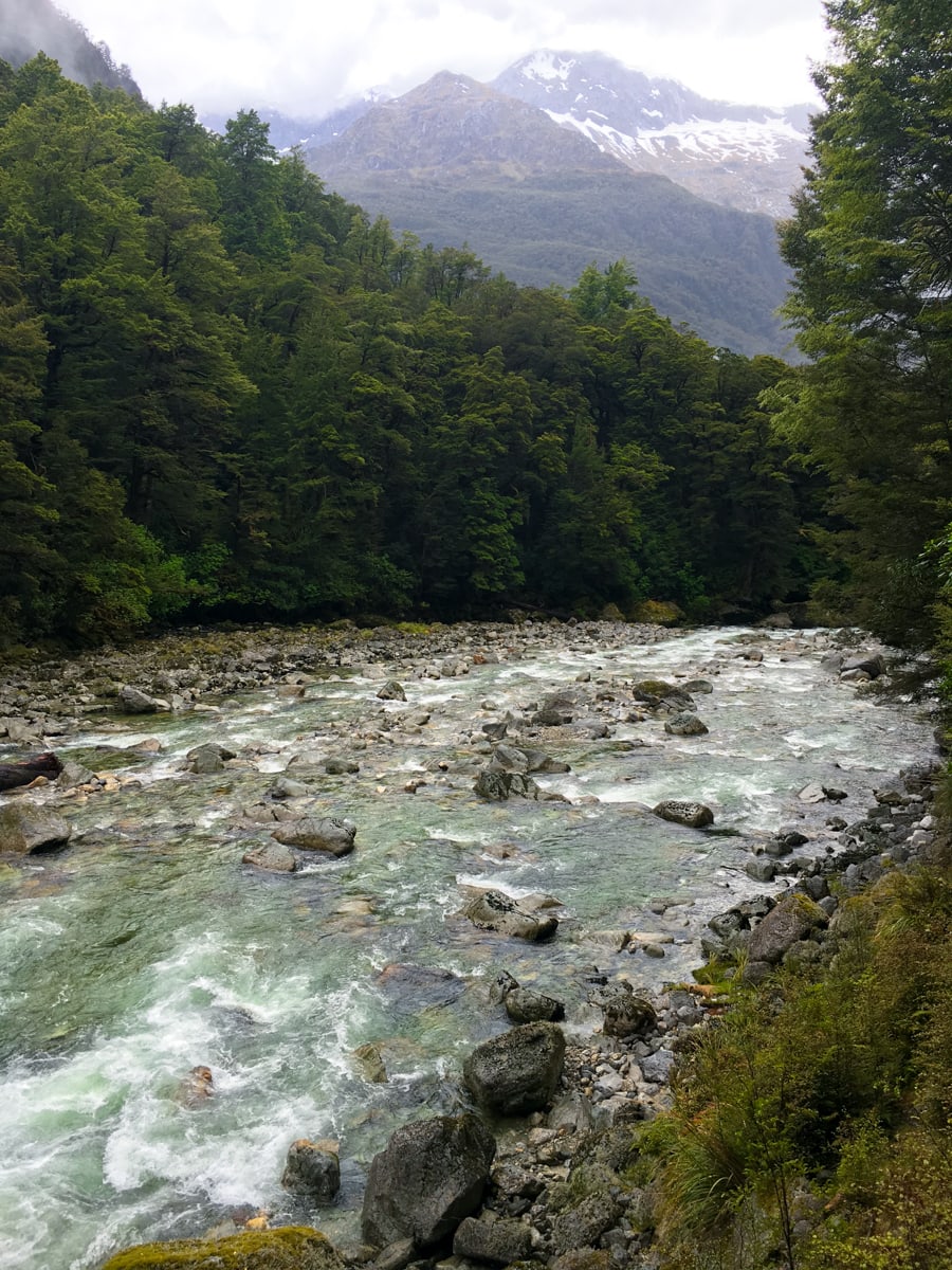
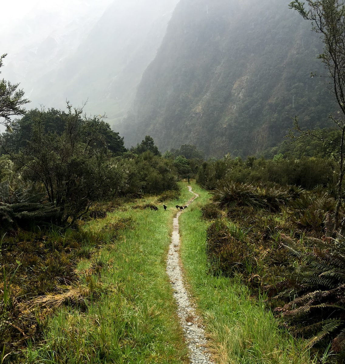
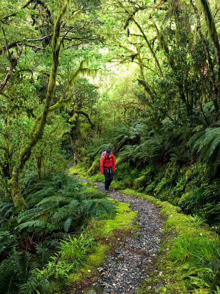
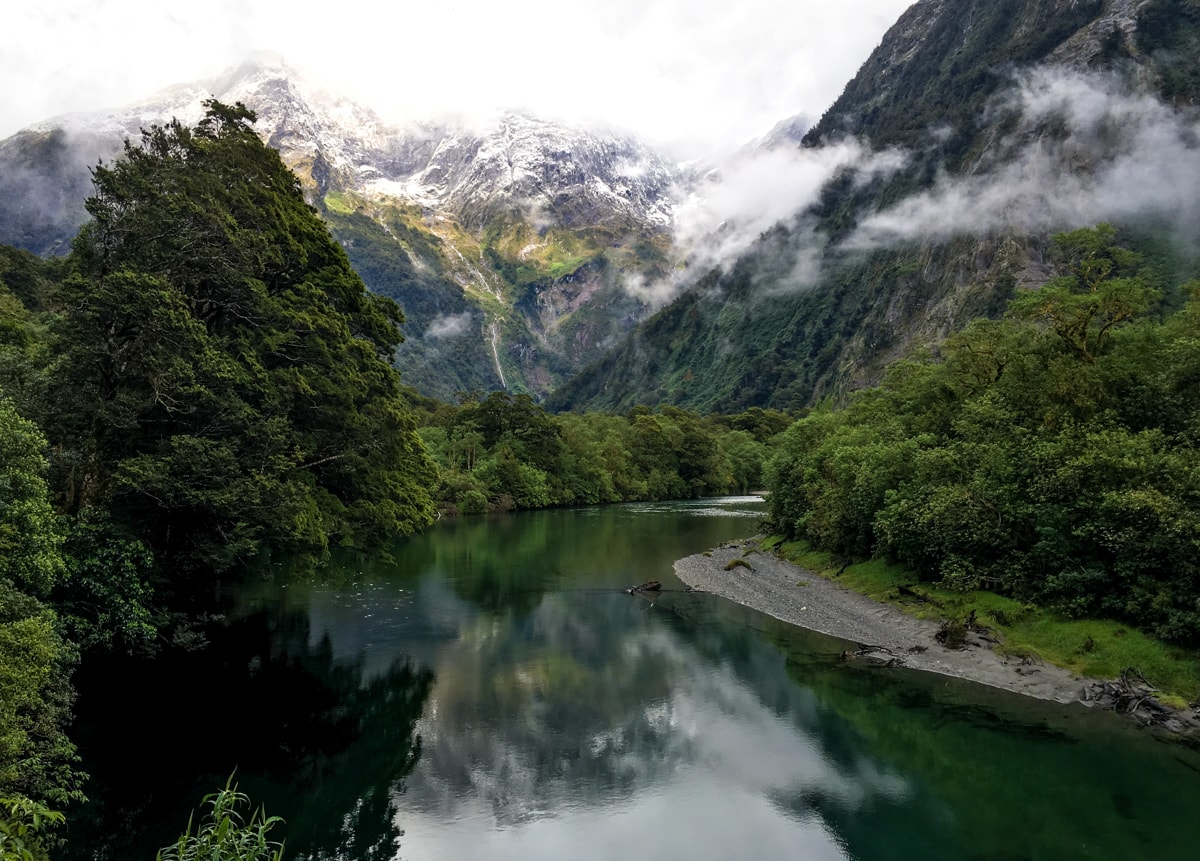
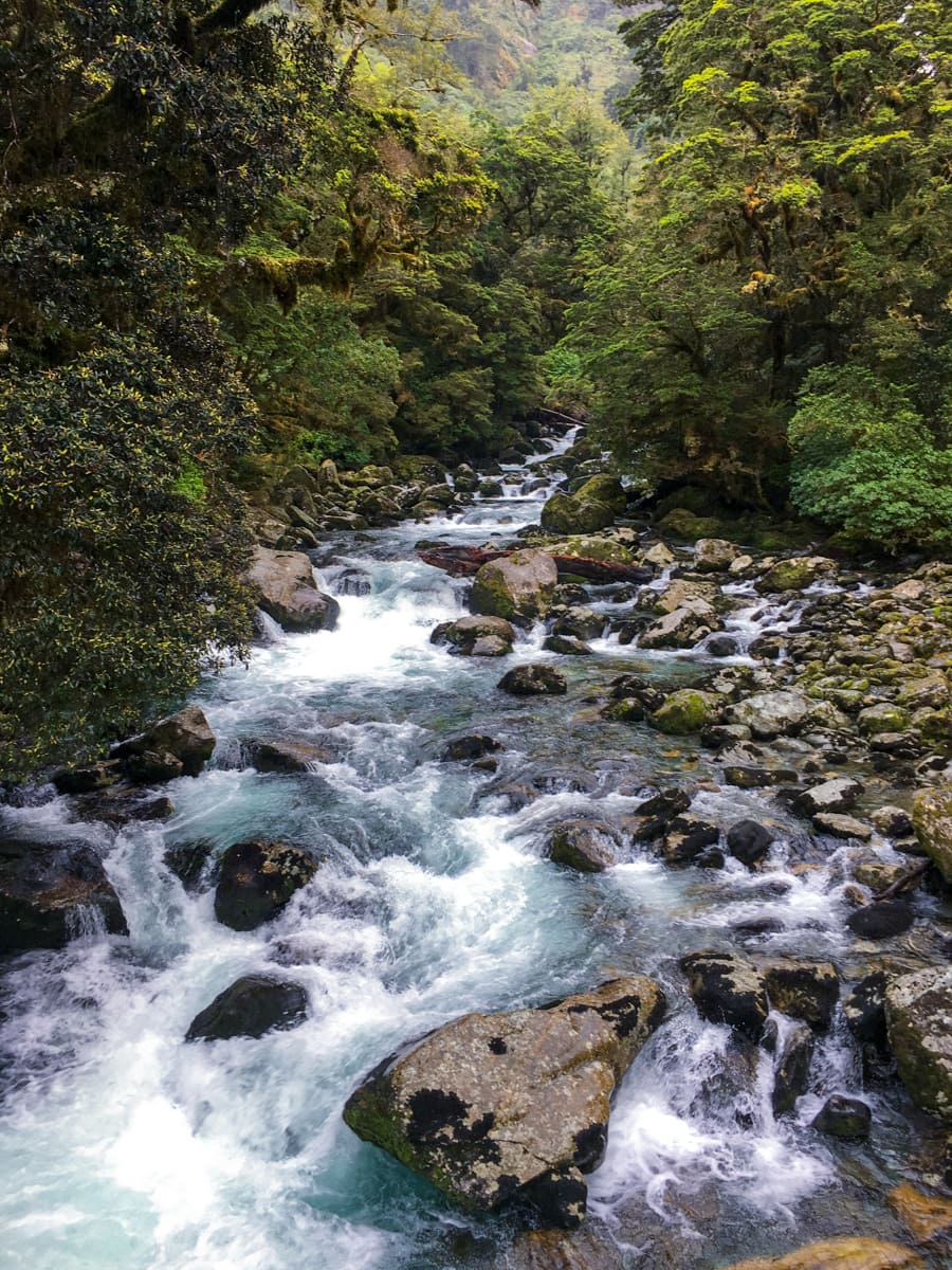
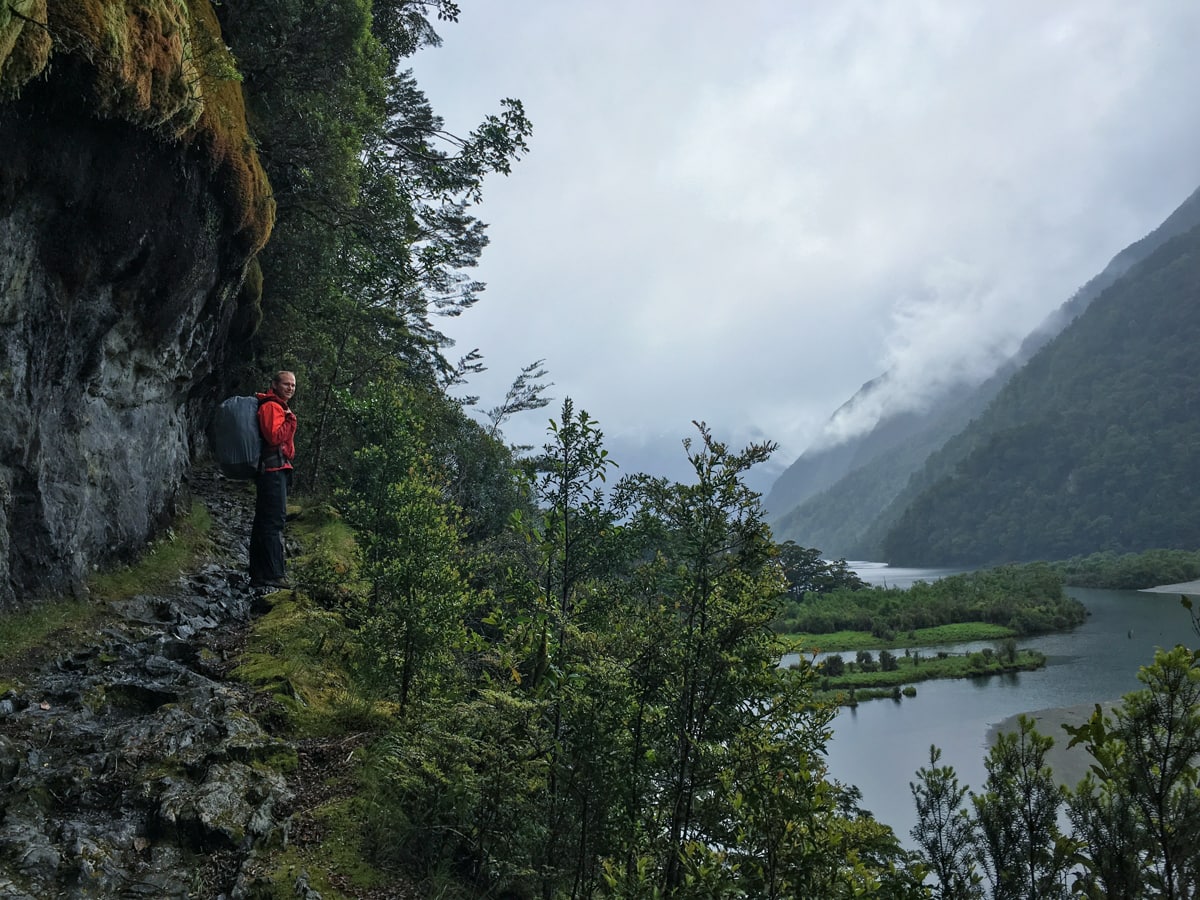
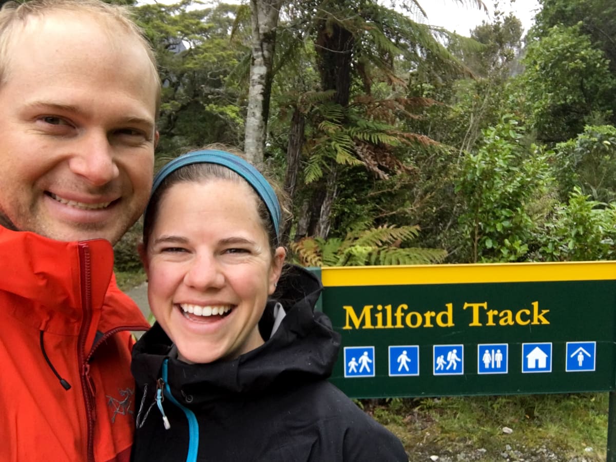
After parking at Te Anau and taking a bus to a boat that took us to the far northern side of Lake Te Anau, we were ready to get going. Since this area gets 21 to 30 ft (yes, feet) of rainfall a year, we weren’t expecting a whole lot of sunshine across our 4 day, 33 mile hike. And predictably, we started out Day 1’s hike with clouds and a few drizzles. No big deal, we’re prepared – yay Goretex – and it only took us 1.5 hours to get to our first evening’s destination. Along the way we had lovely views of the Clinton River and took a short side trip up a boardwalk into a marsh area. And we saw a Tui and several Fantails (but didn’t get a photo).
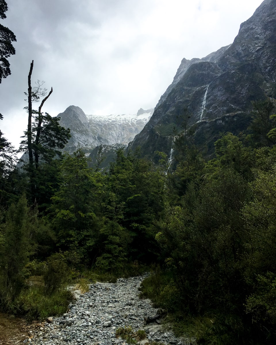
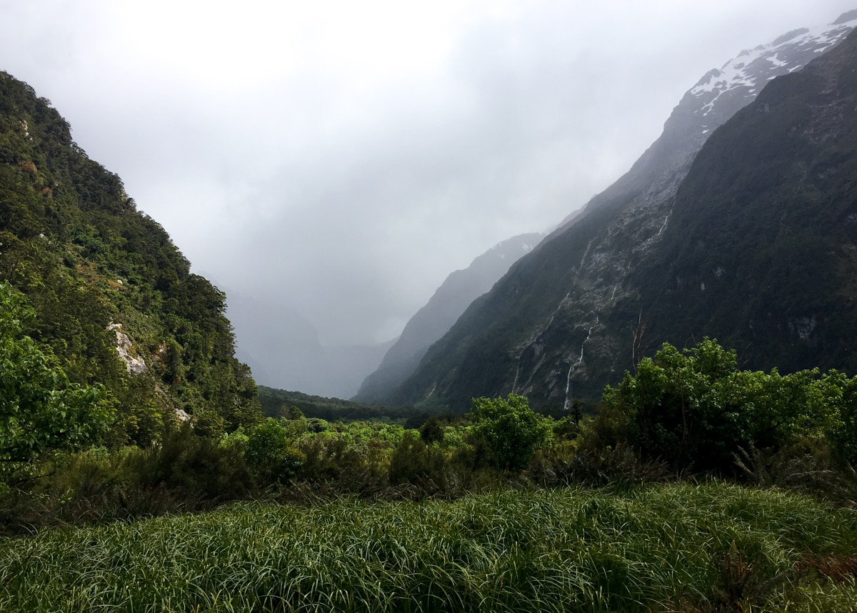
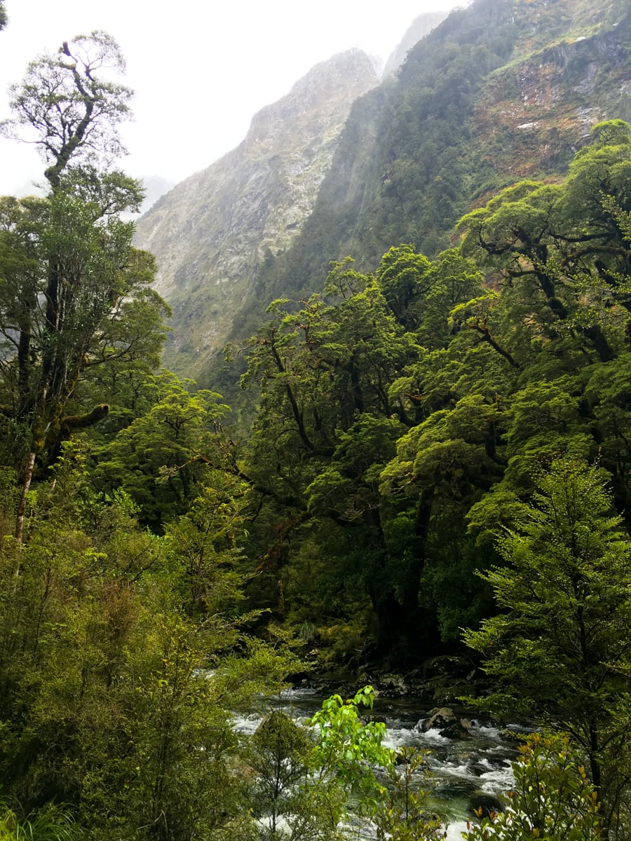
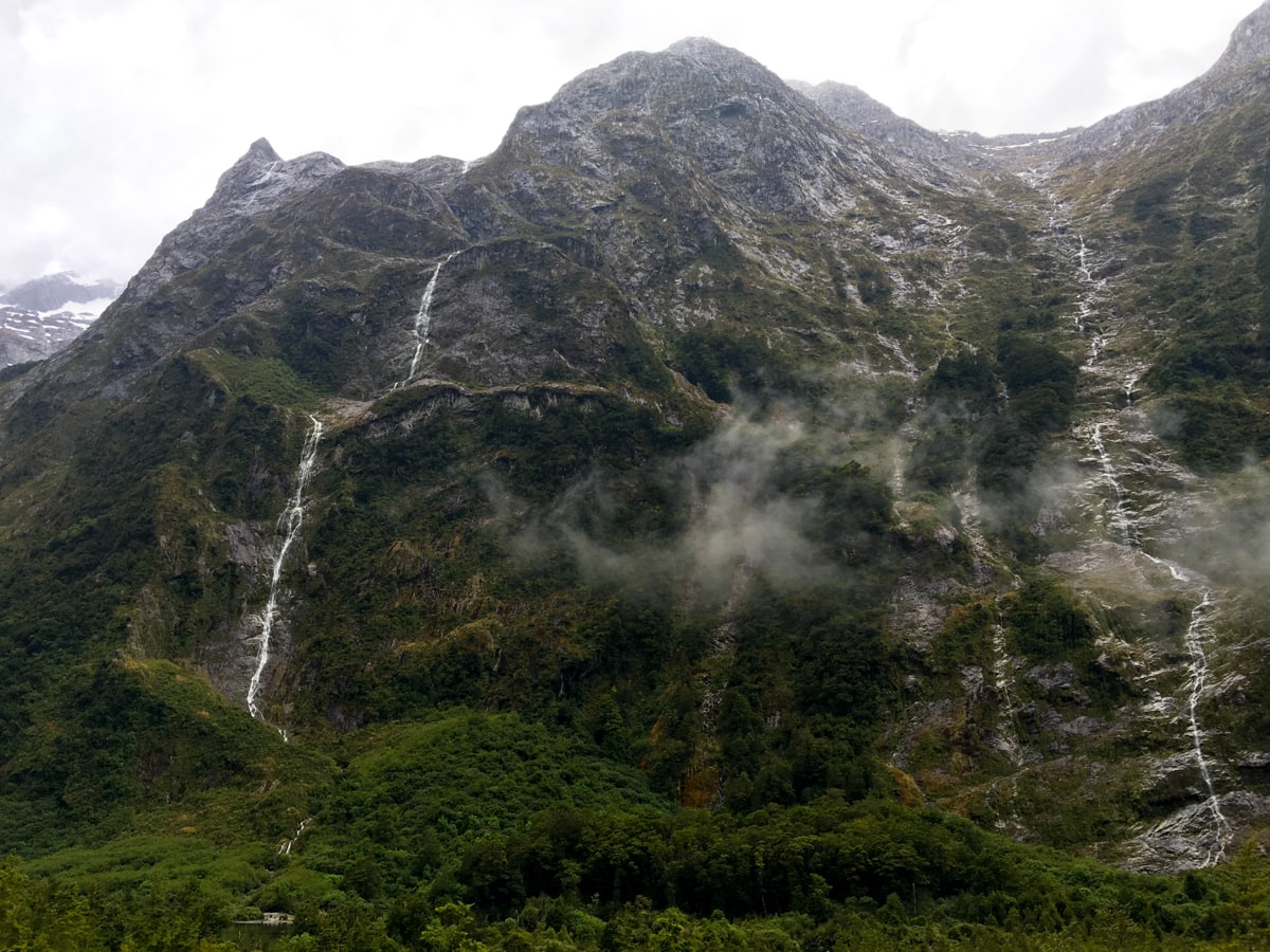
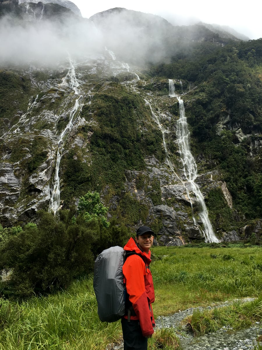
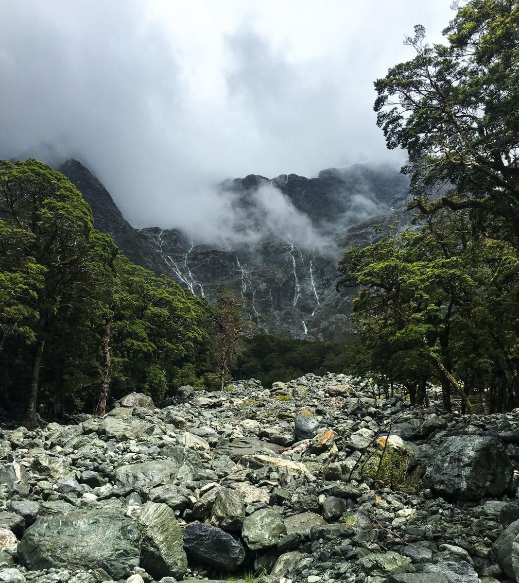
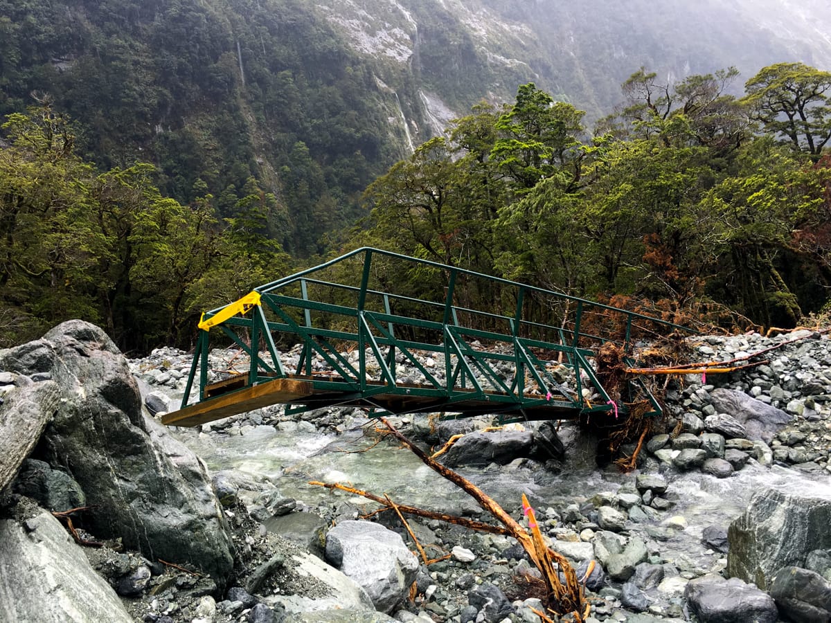
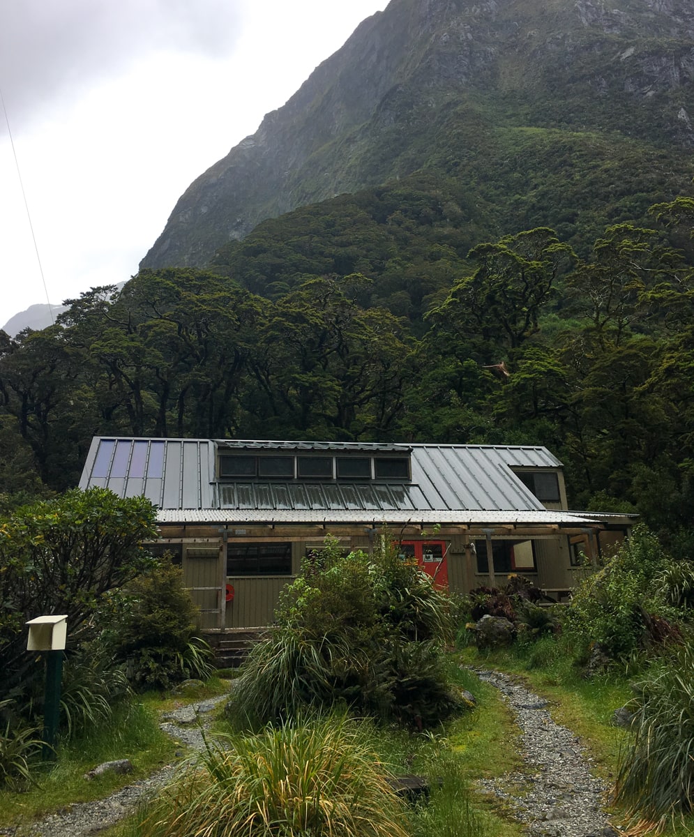
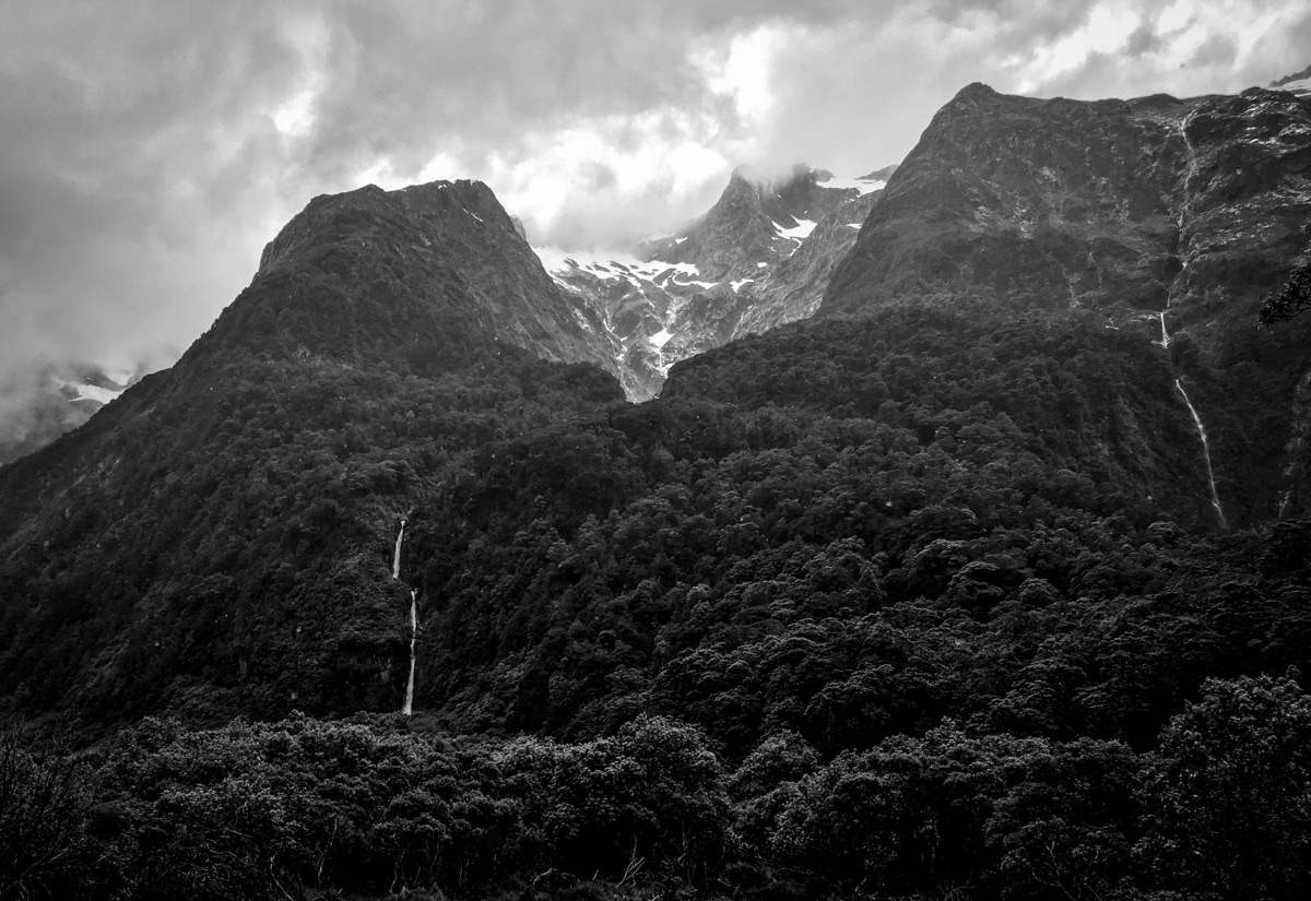
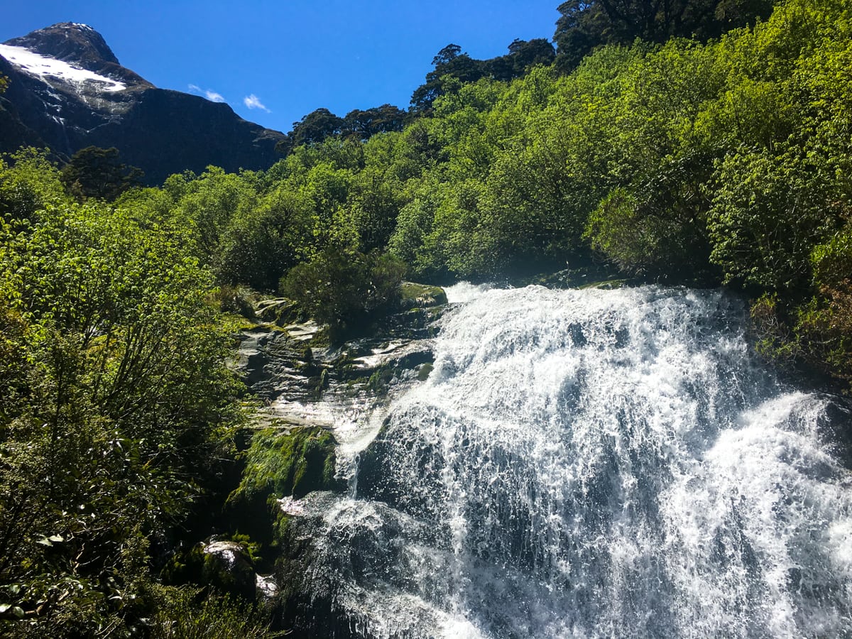
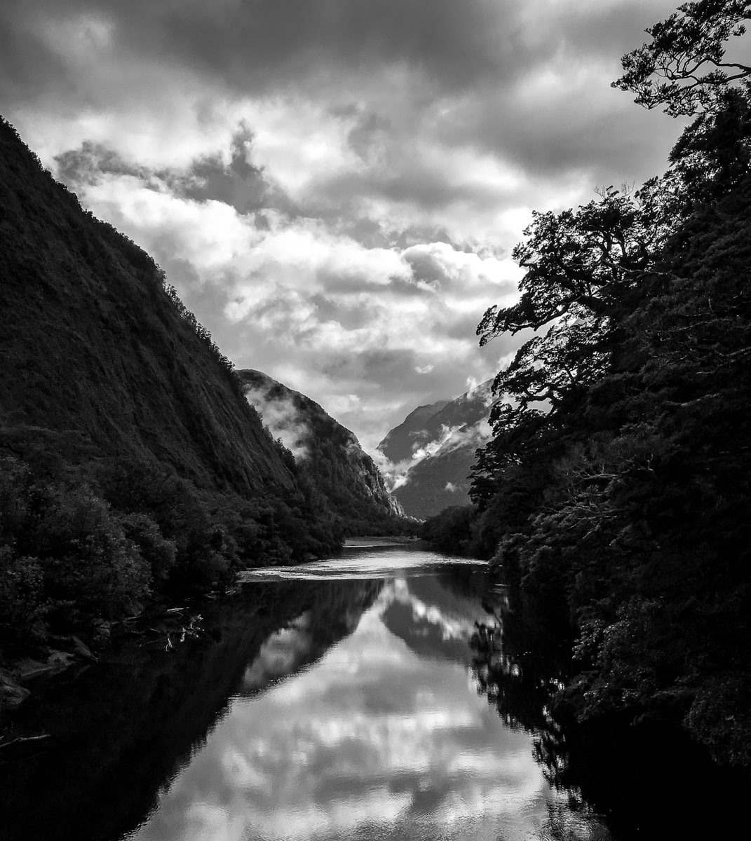
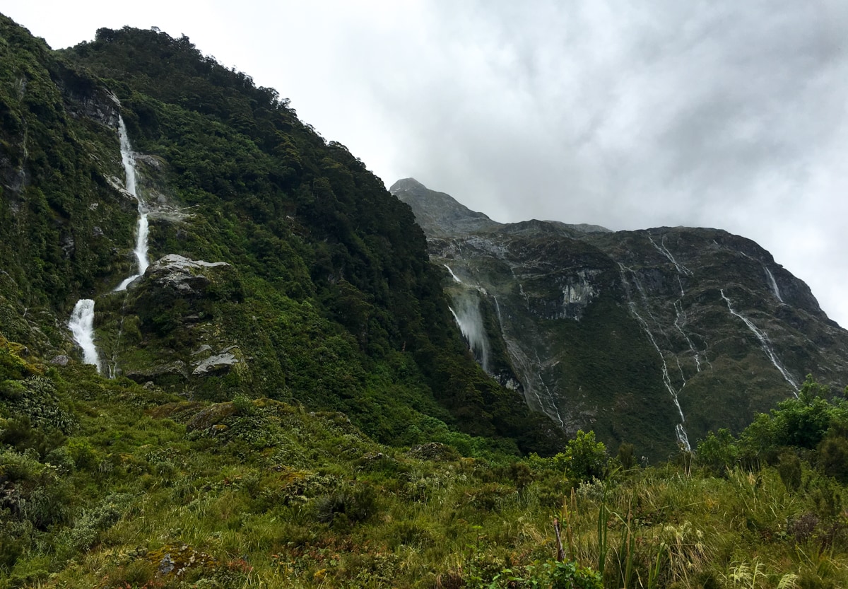
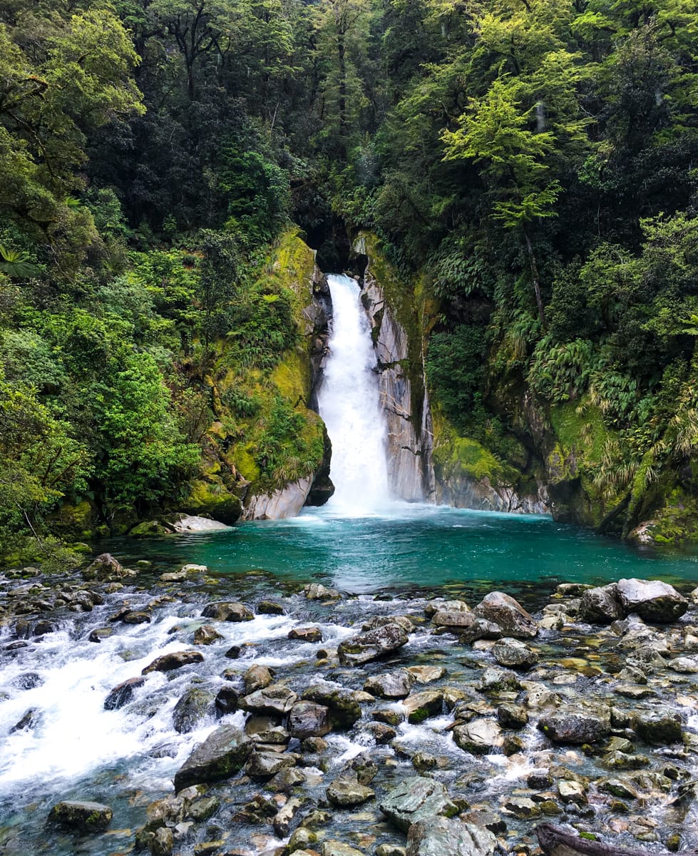
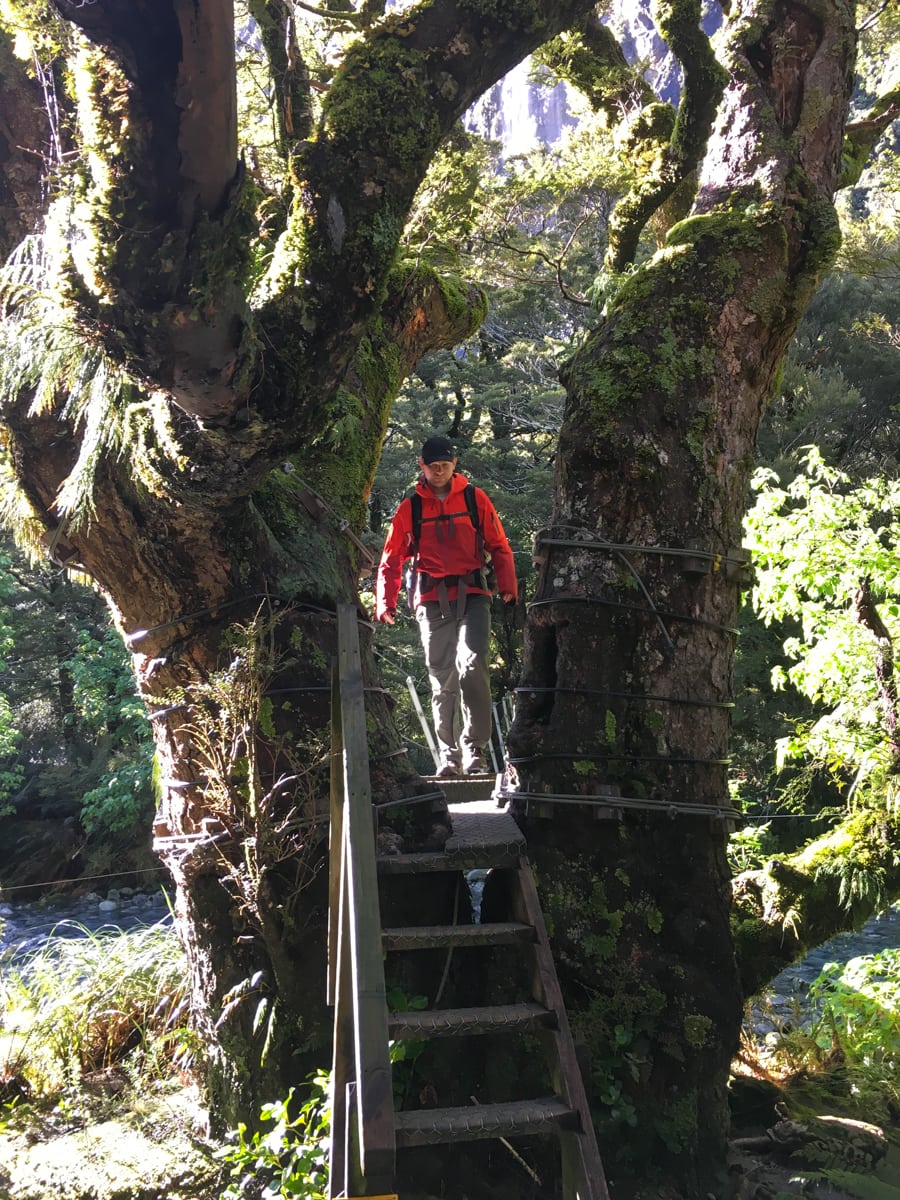
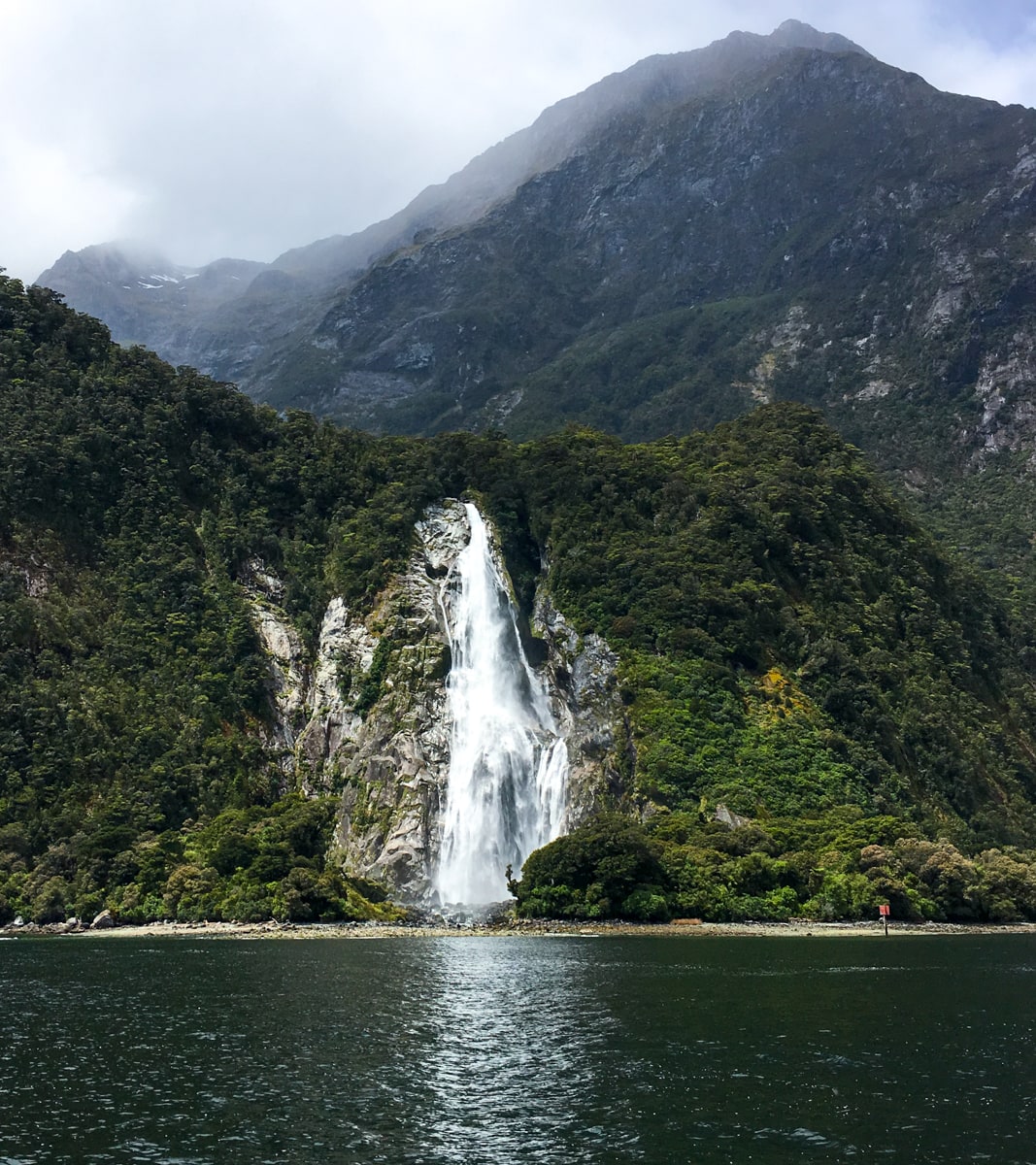
Day 2 took us further up the Clinton Valley, almost to its head. Due to the ongoing drizzle in parts of the valley, there were waterfalls everywhere. At one point, we counted 16 waterfalls in view. And these weren’t just ‘creek bubbling over a rock’ waterfalls. They each fell (in stages, but falling) down 2000+ ft of mountainside. It was super cool. Since we were walking next to the river still, we ended up having ~19 creek crossings that day. Most were ‘jump overs’ or had a nice DOC footbridge. The biggest ‘creek’ we found had recently flooded enough to push over all the rocks supporting the footbridge, which was left hanging in the air on one side (see photo below). Eventually we made it up to Mintaro hut and had a nice evening sleep.
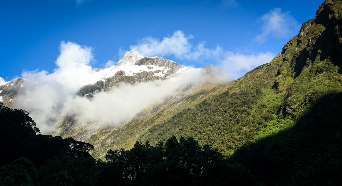
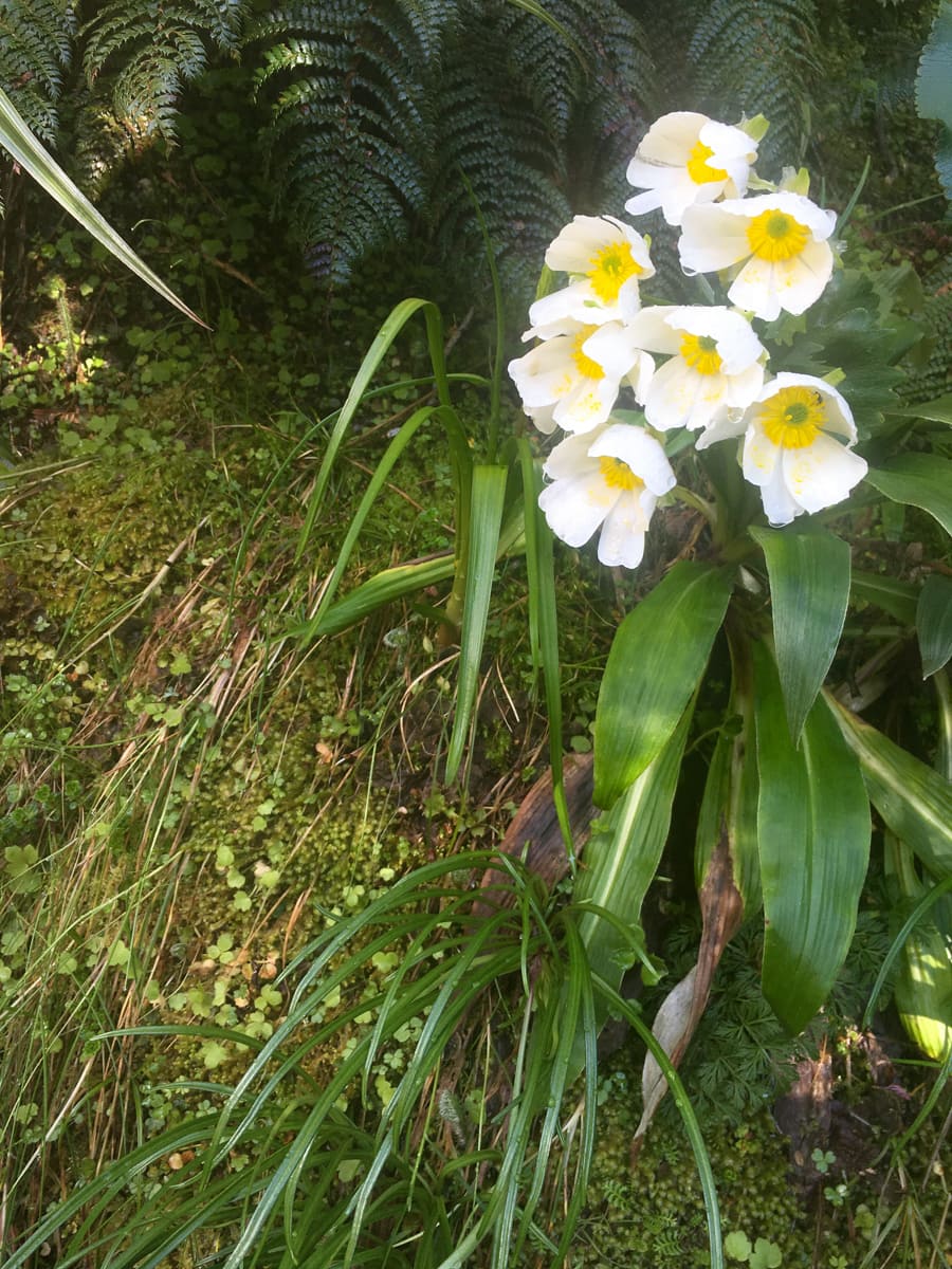
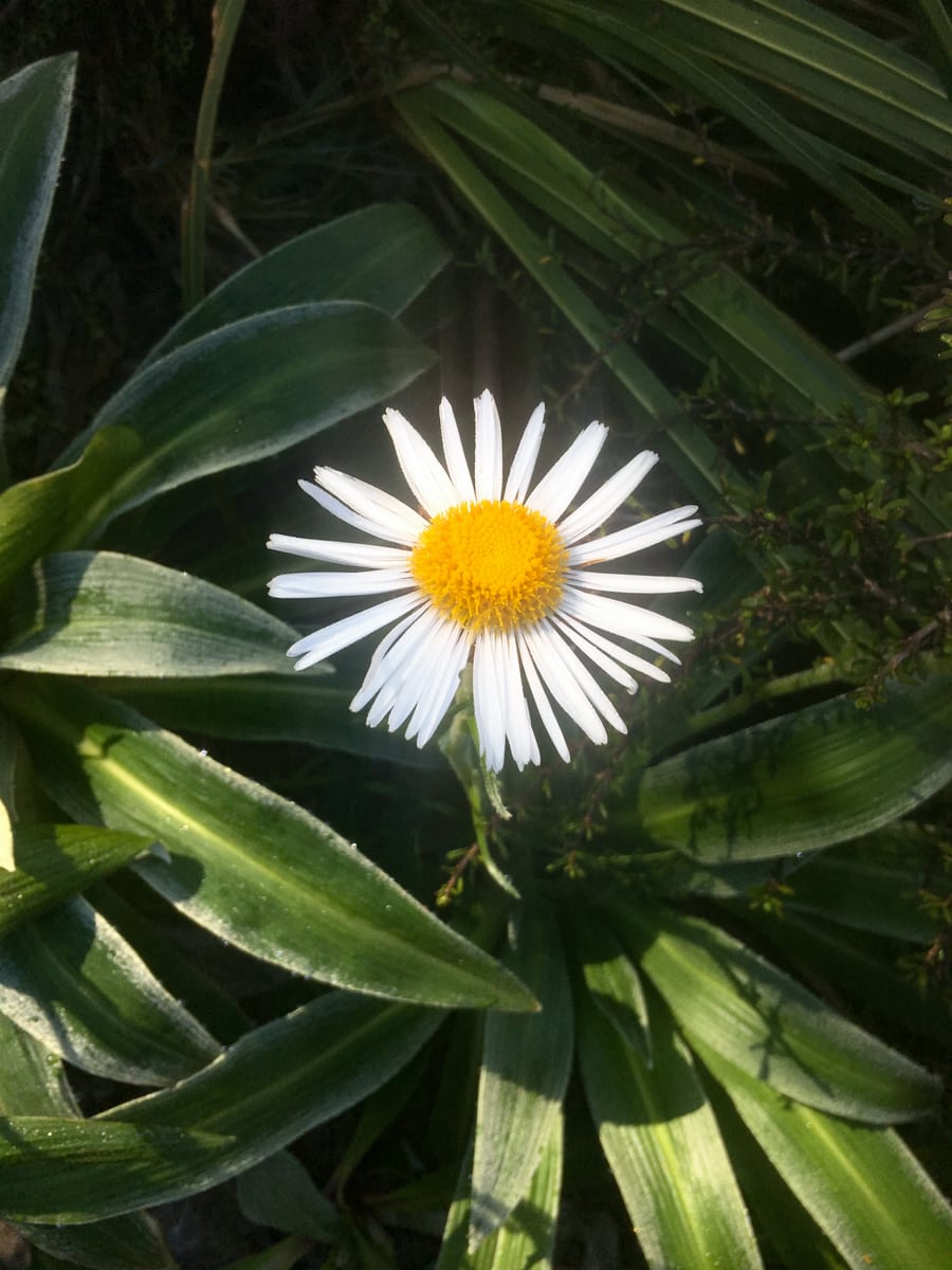
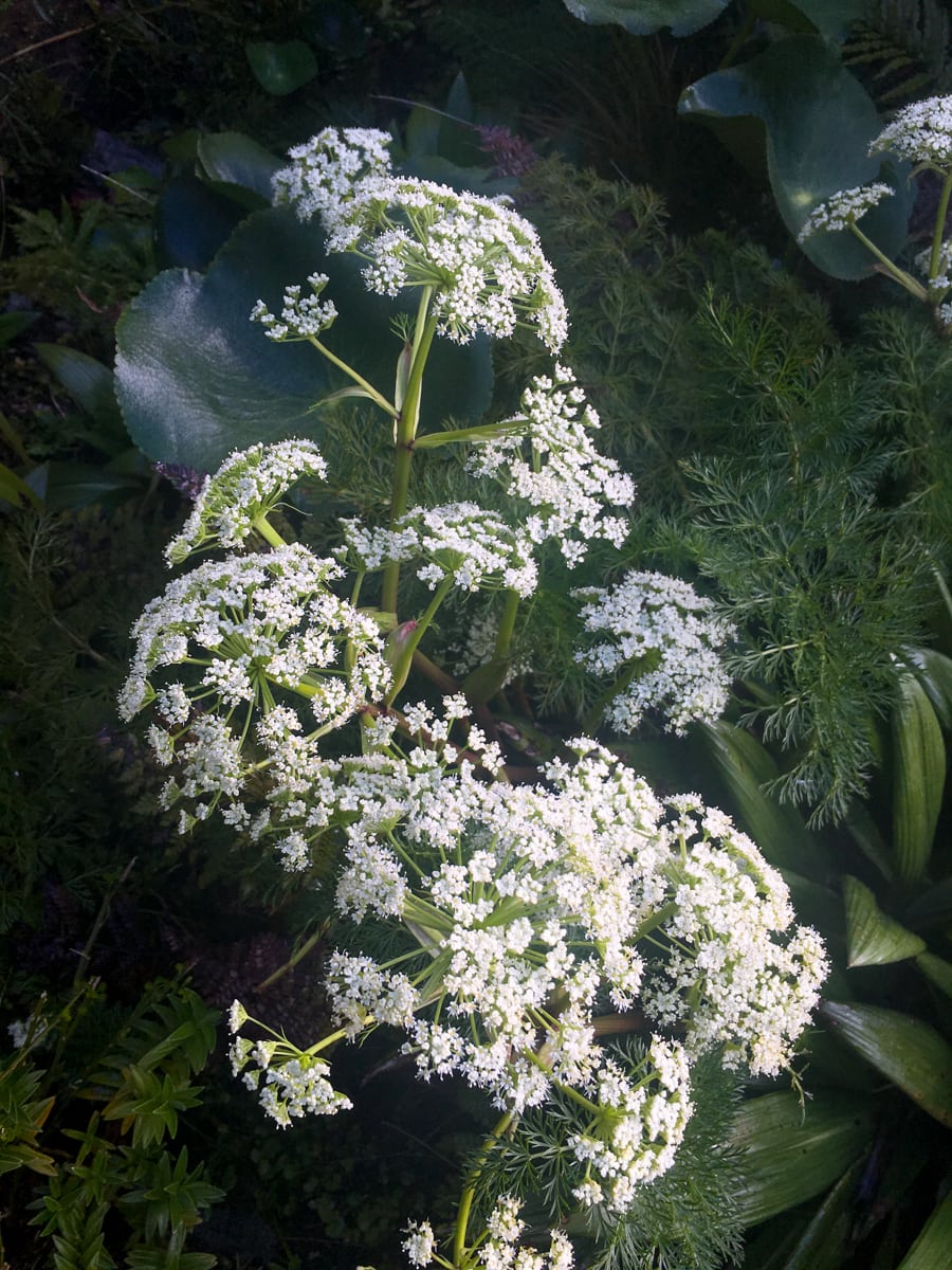
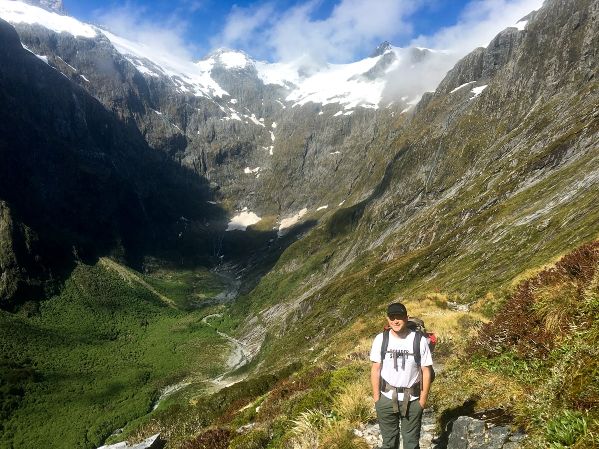
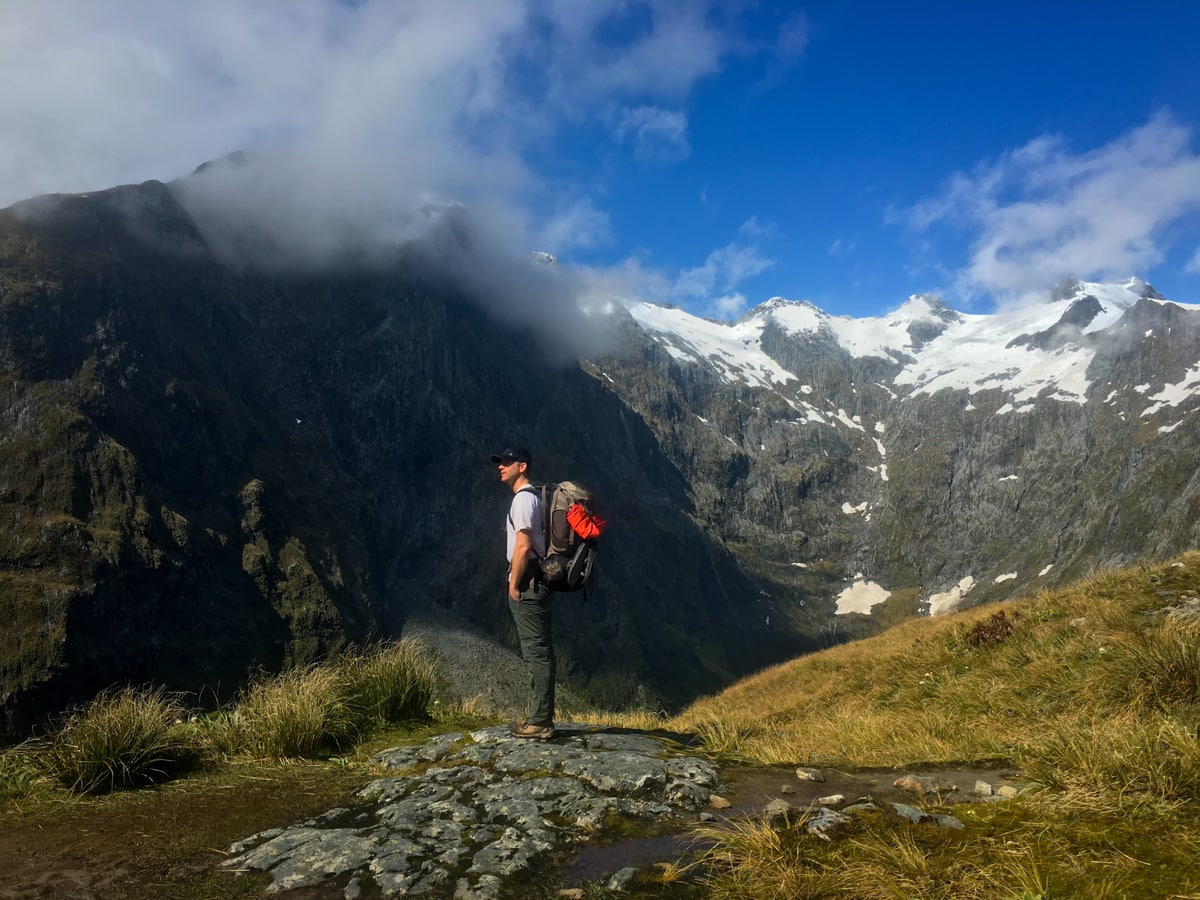
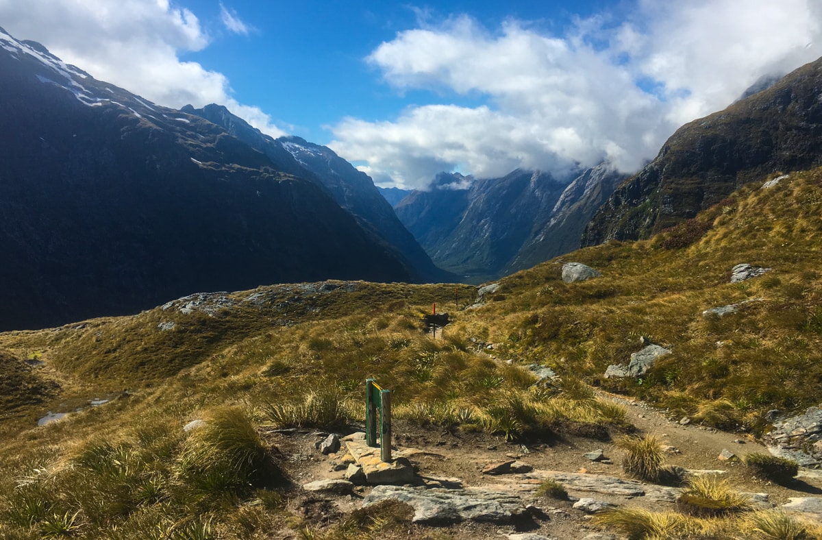
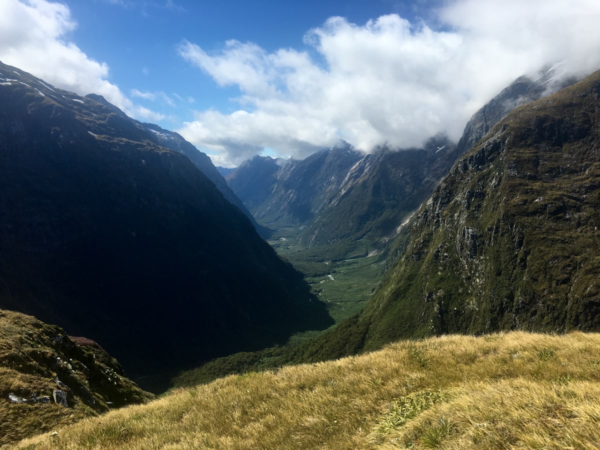
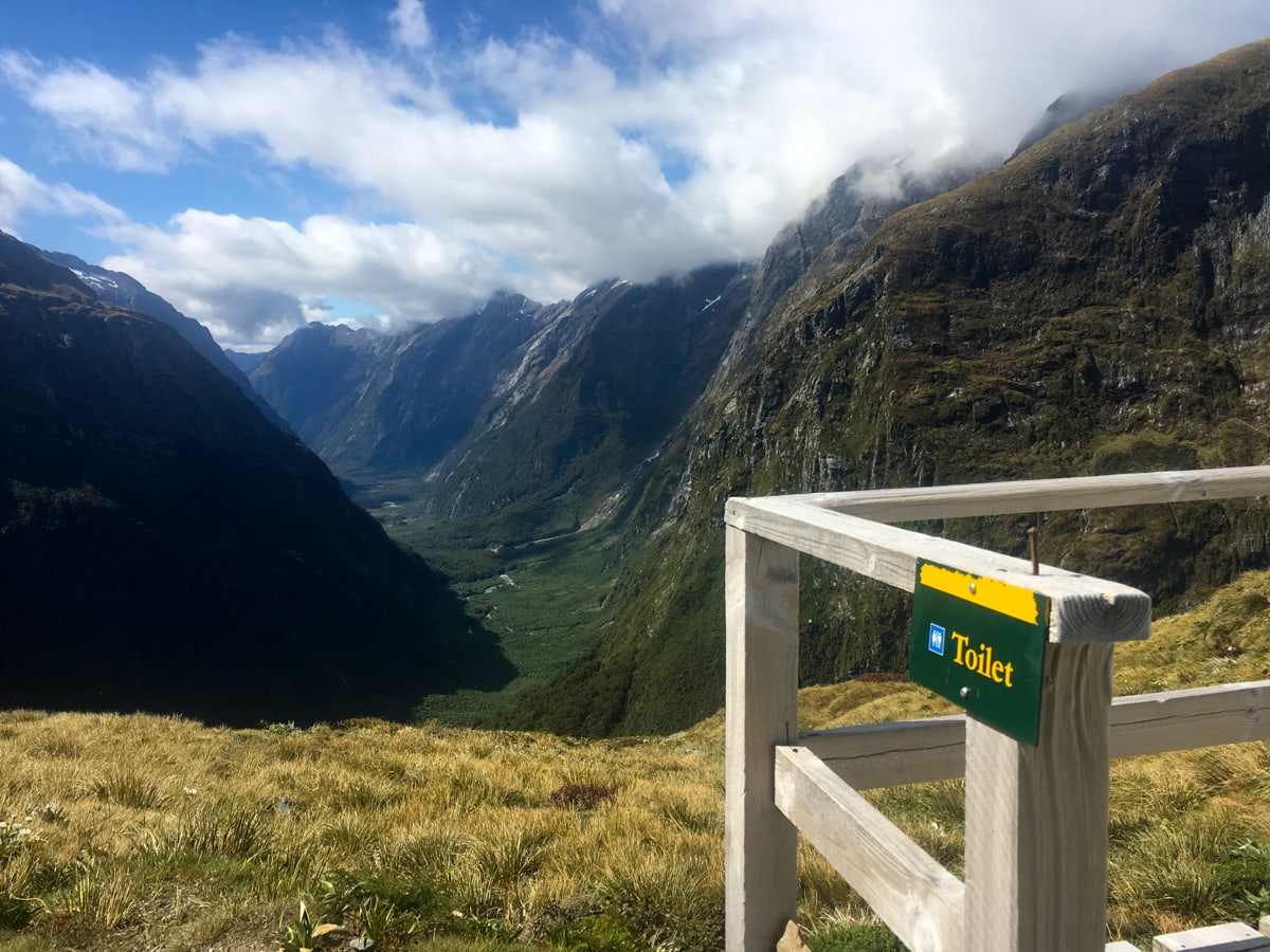
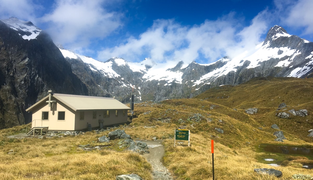
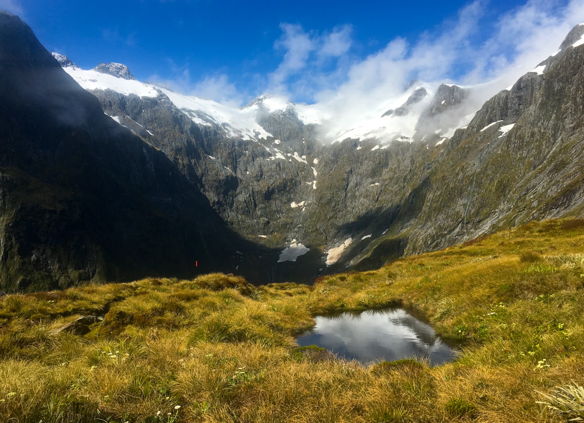
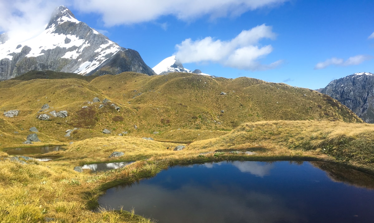
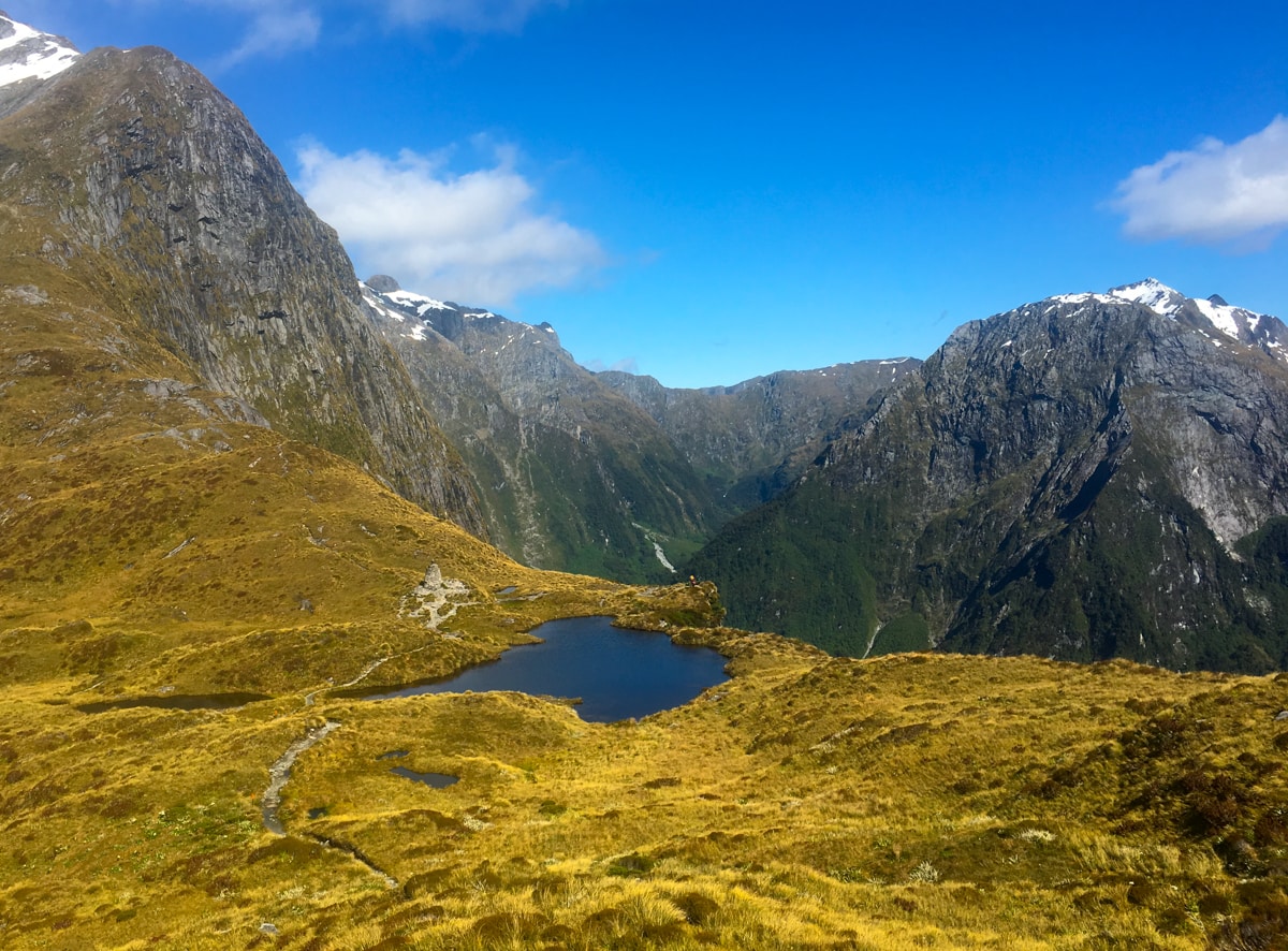
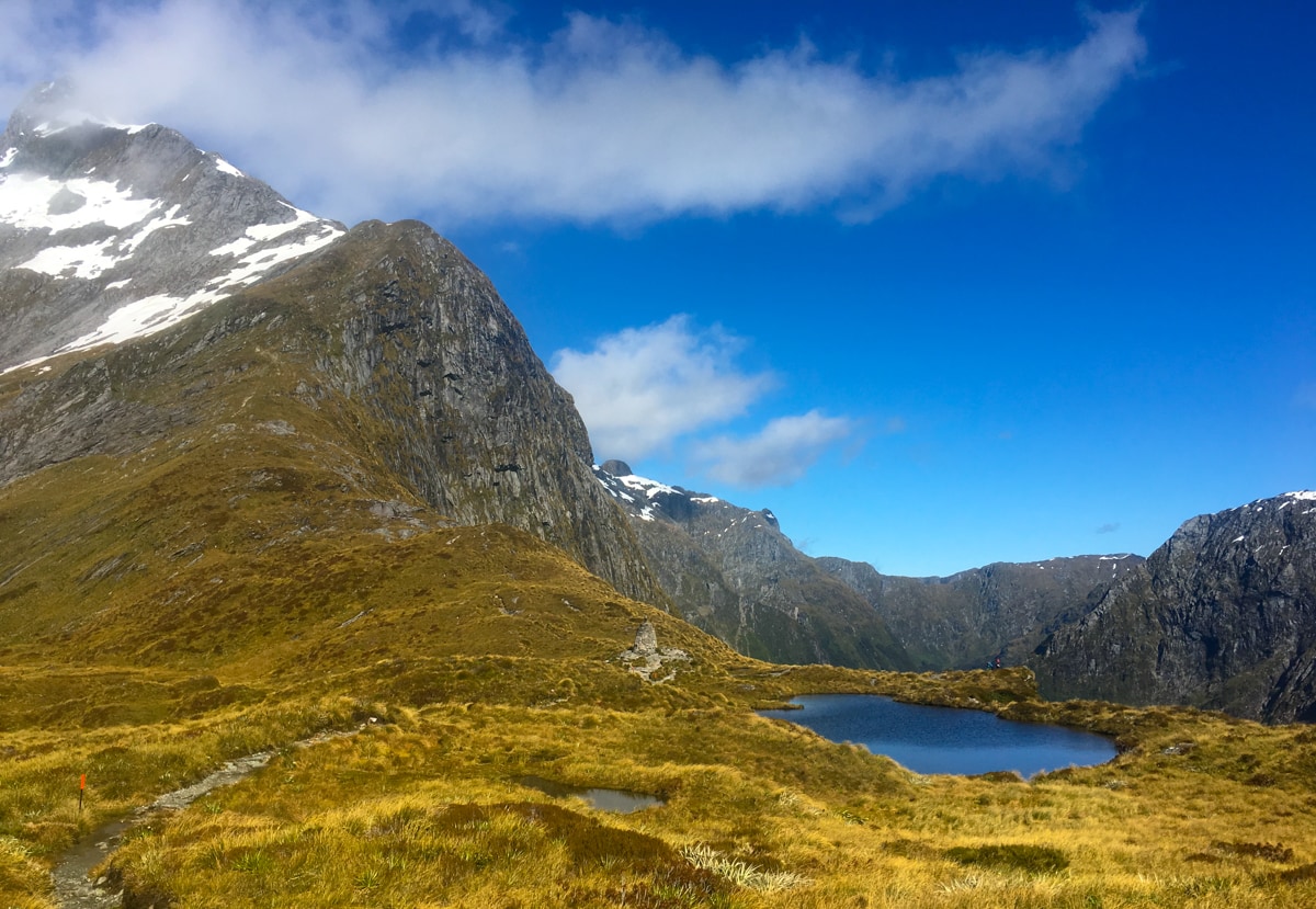
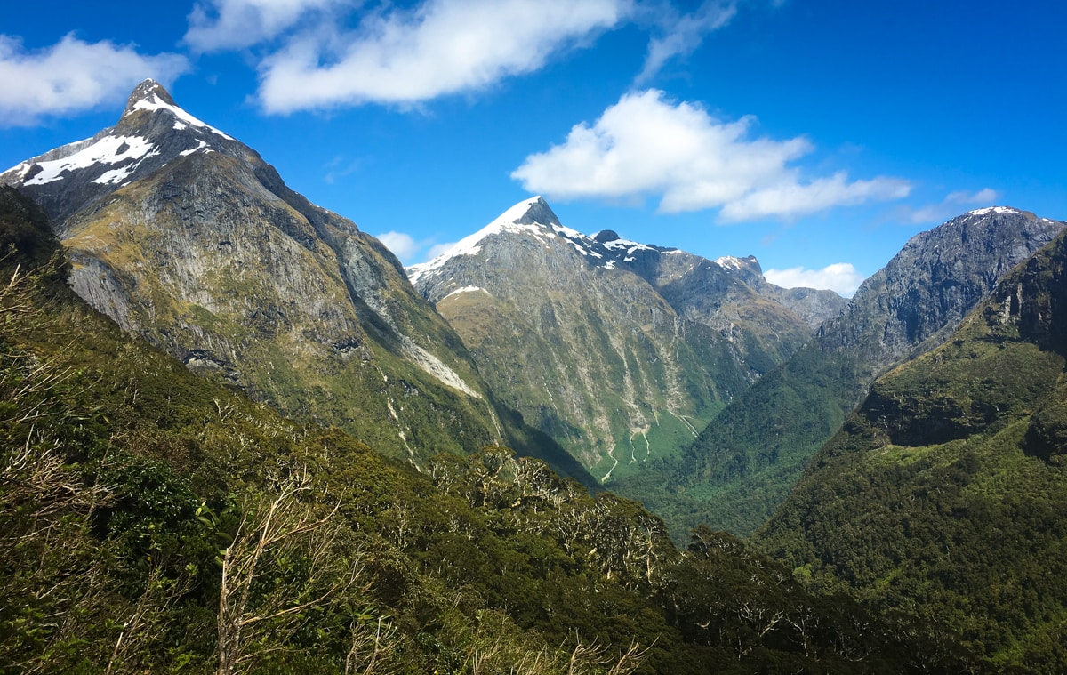
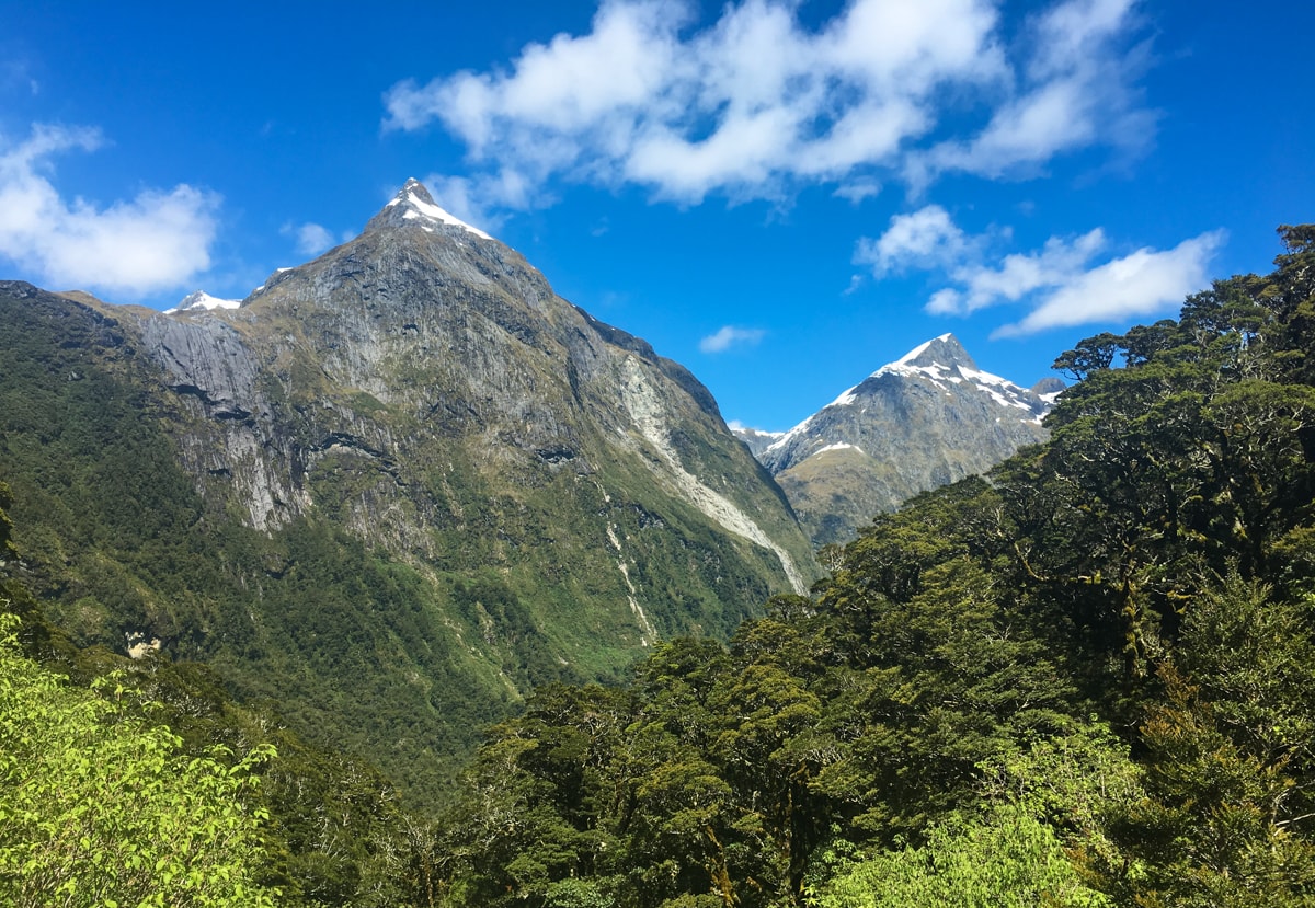
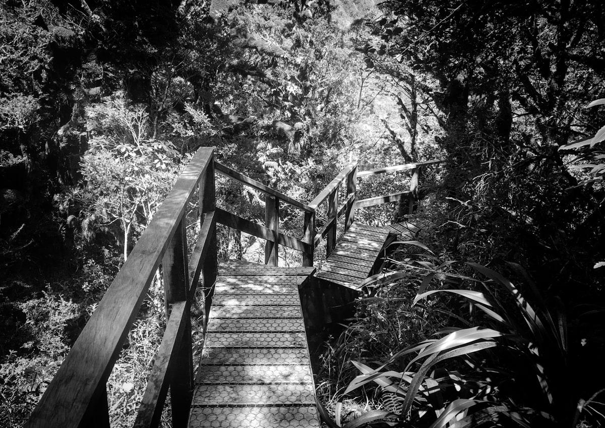
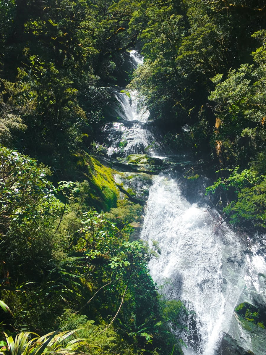
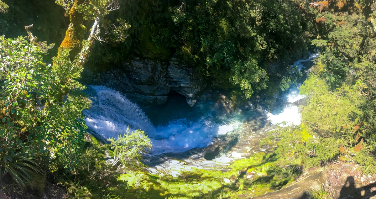
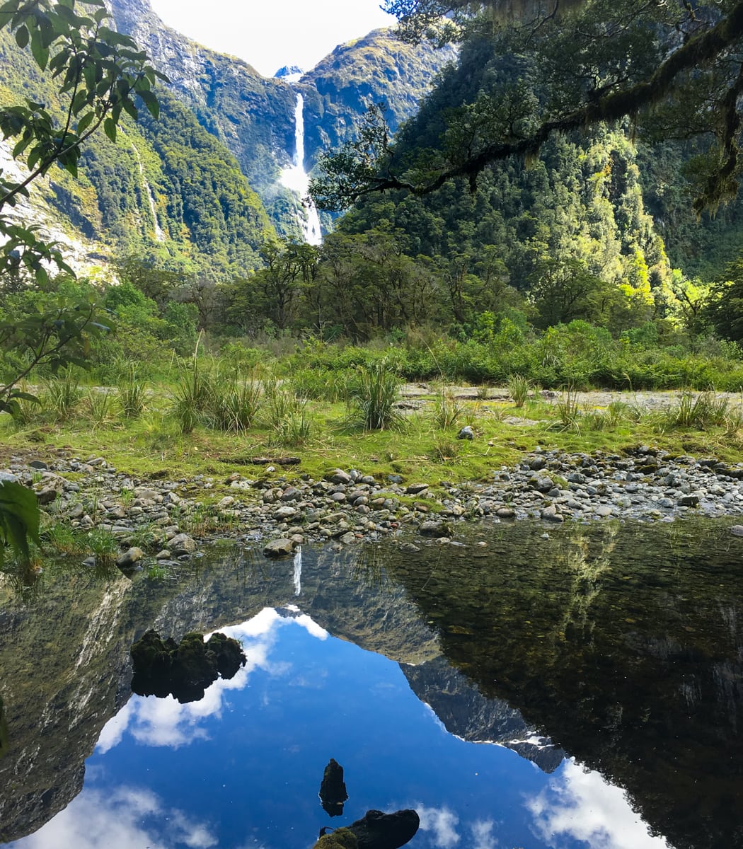
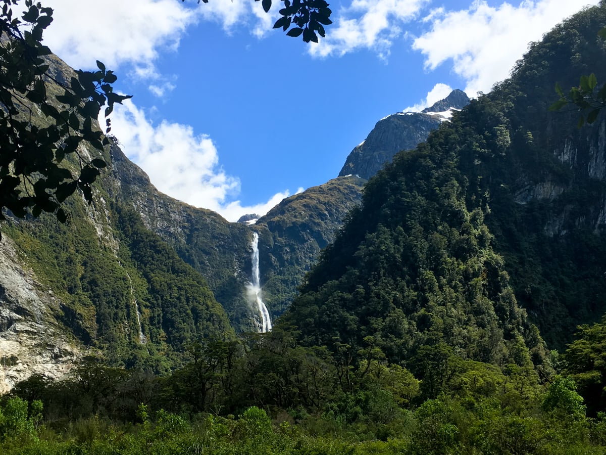
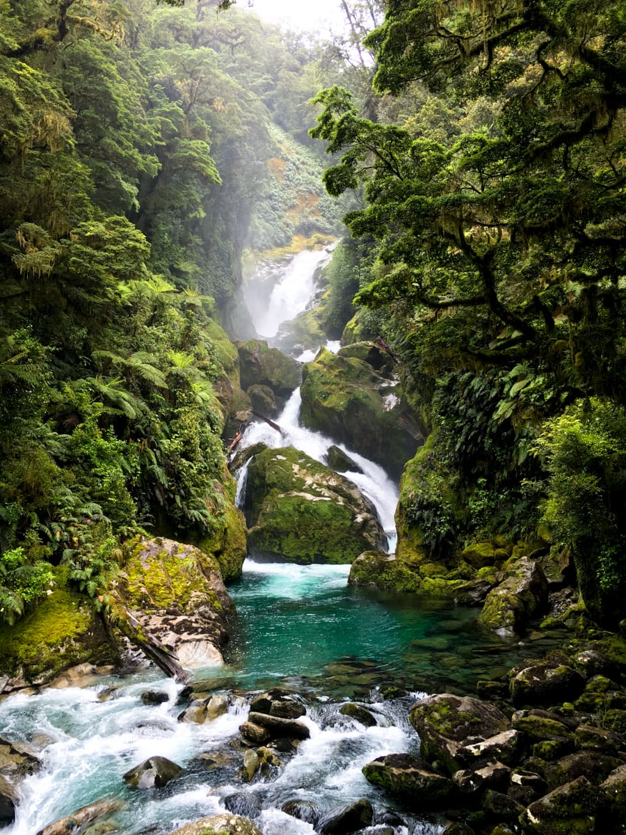
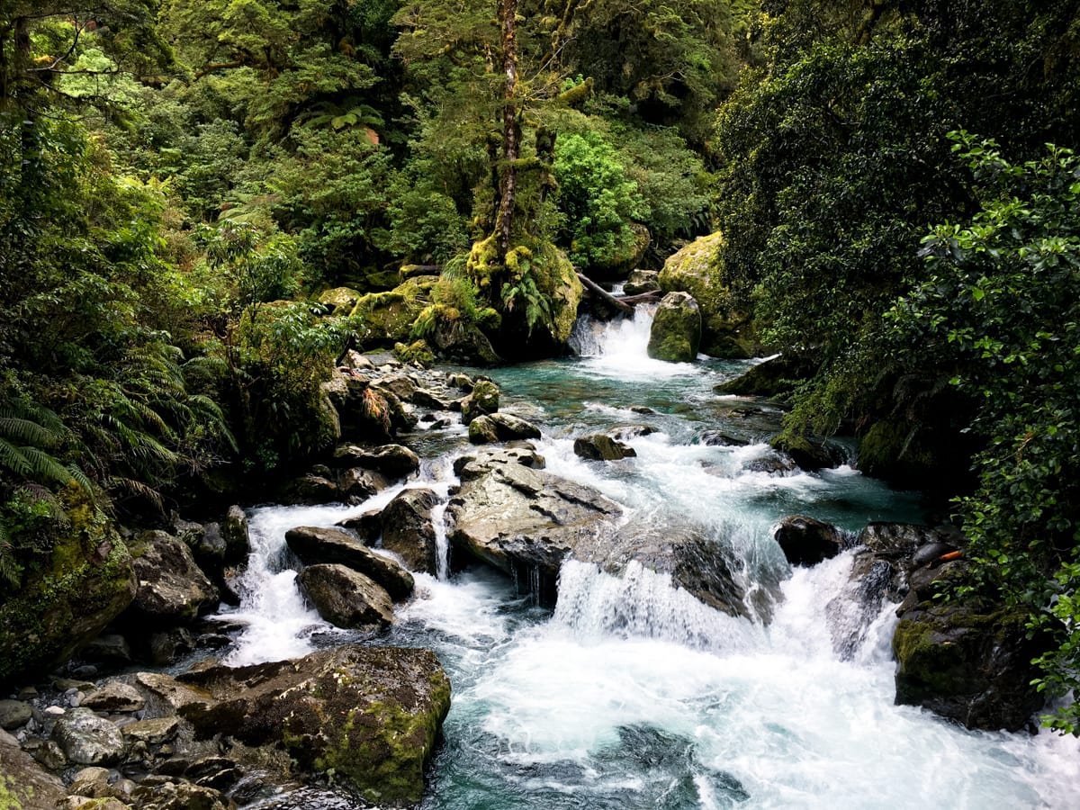
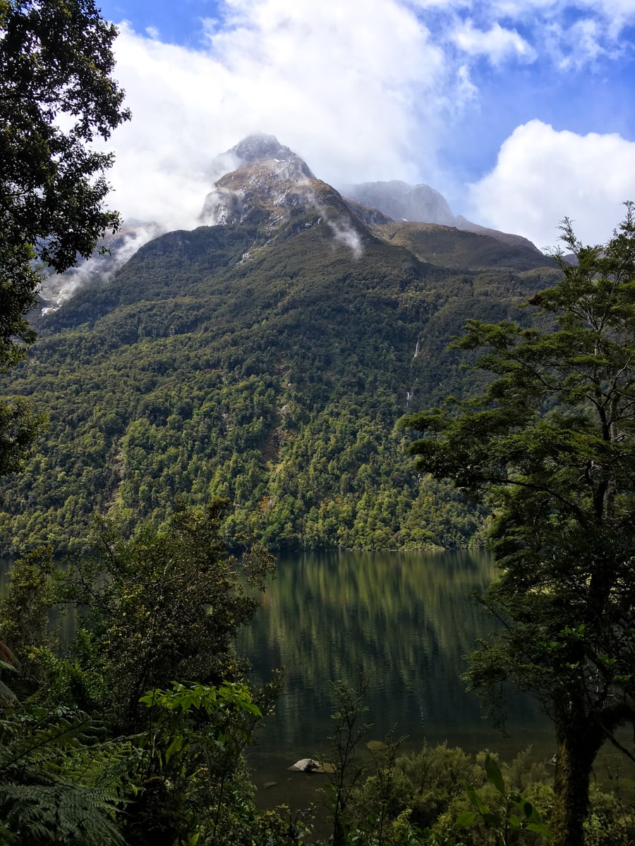
Day 3 is the ‘big’ day, with 12km of walking and 500m ascent – not bad all in all. Because we’d cross Mackinnon Pass this day, we were really hoping for good weather. And we got it! It turned out to be incredibly sunny and pretty calm all day long. The scenery around the pass was striking – tall, super steep mountains jutting up from 4 different river valleys that we could see down. And everything was green or blue or yellow or black in shadow. And of course there were more waterfalls in the distance. We got to see all three of the endemic white alpine flower species as well. (Apparently only moths are around up there to pollinate flowers, and for some reason moths are only attracted to white flowers, so only white flowers grow up there – at least that’s how the hut warden Laura explained it.) After descending from the pass, we got to walk alongside the magnificent Anderson Cascade, a long connected series of waterfalls and roller coaster rapids running down the hillside. It was hard to get pictures because of the lighting, but we tried to include a couple below. Imagine walking on trail, and boardwalk, and wooden stairs for about 10 minutes, where each turn unveils new whitewater carving through smooth rock or waterfalls into deep pools. Very cool – and it had only been casually mentioned in all the text we read about the track! We capped off the day by visiting 1904 ft high Sutherland Falls. It was so tall that it caused its own wind storm at the very bottom. We got drenched by the spray it created, even on a calm day. So fun. : )
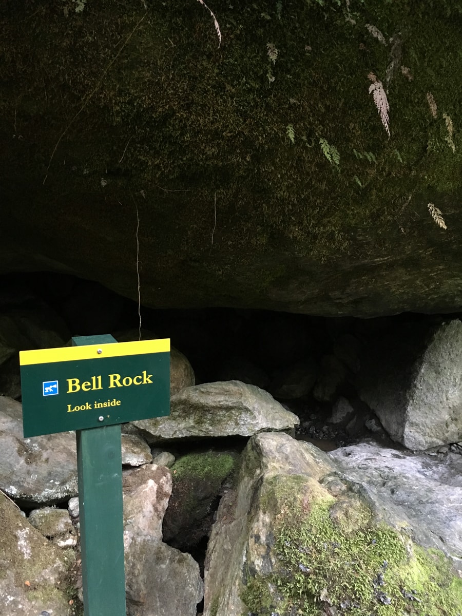
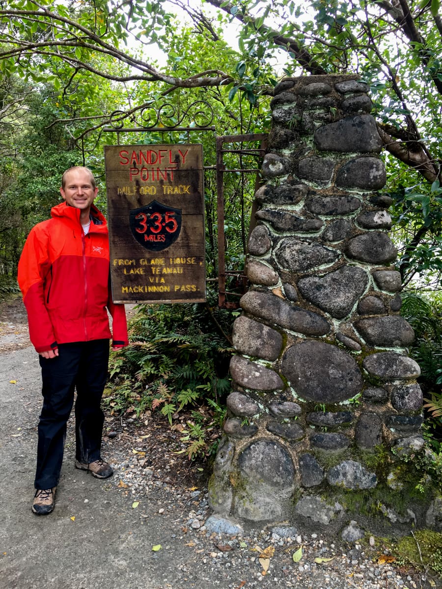
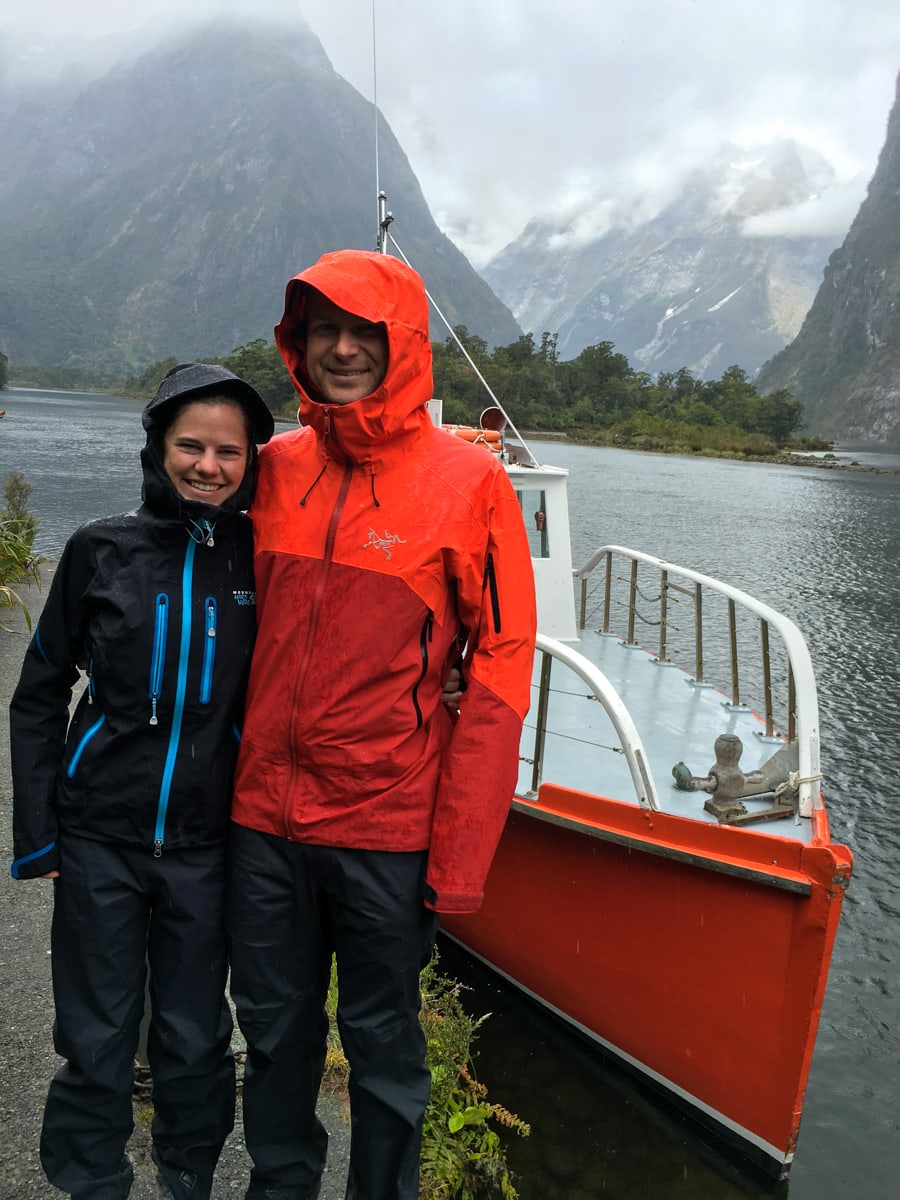
Day 4 was the longest distance day, but since it was a downhill stroll to a boat pickup, it wasn’t too strenuous. We passed by McKay Falls, Bell Rock and Giants Gate, and the rest of the track followed the Arthur River down to aptly named Sandfly Point, where we mostly stayed in an enclosed shelter while waiting for the boat pickup in order to avoid gigantic swarms of sand flies. After a short cruise out into the sound and around a corner, we ended up at the ‘town’ of Milford Sound and that was that!
So all in all, we think expectations were met. Such a fun trip!




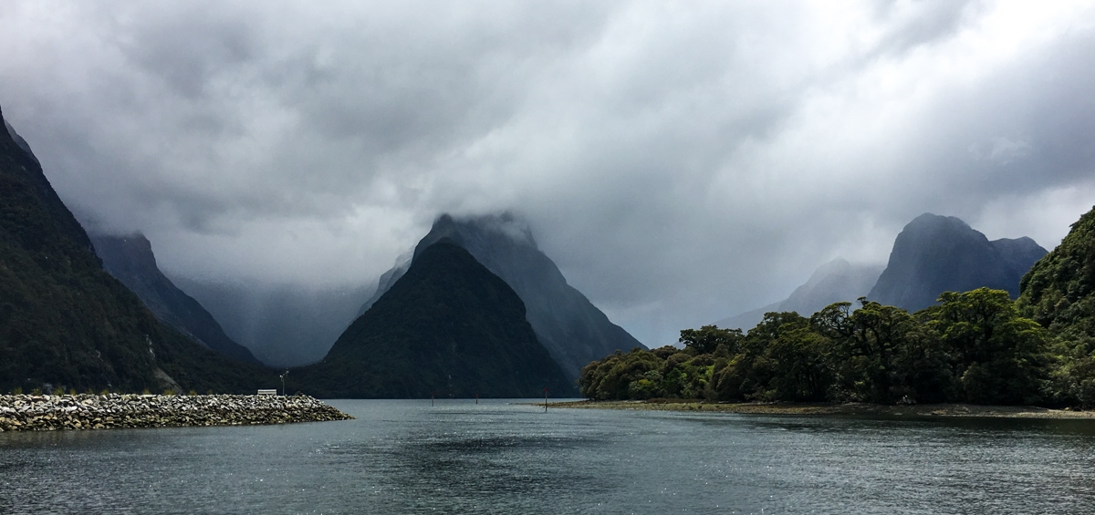
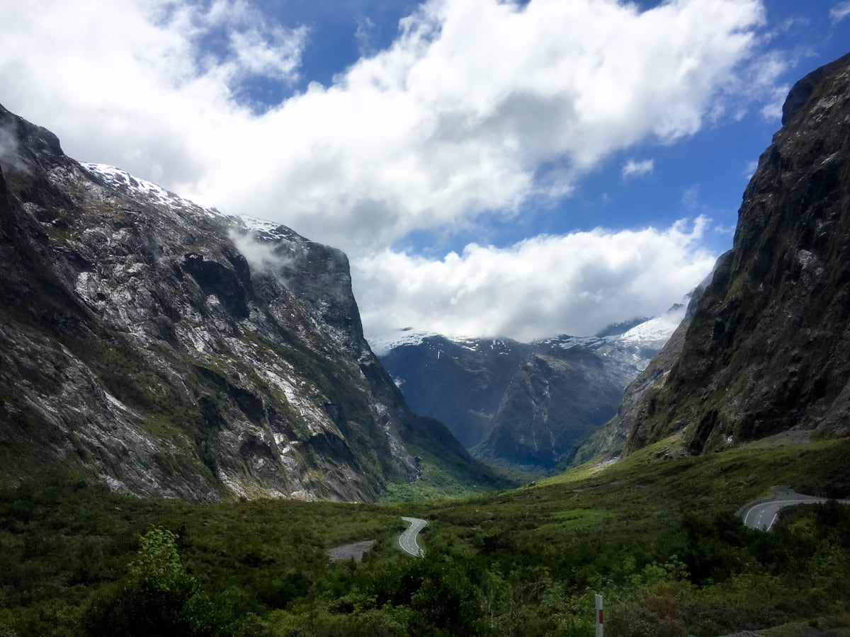
That looks amazing!!! Love those pictures
Thanks!! : )
It’s so confusing that the little towns are named the same as the exciting natural thing you are trying to visit. The town of Milford Sound, of Fox Glacier, of Mt. Cook, of National Park (that one’s especially bad)…..
Yea, for me Mt. Cook was the particularly difficult one – there’s the mountain, the region, the village, and the national park.